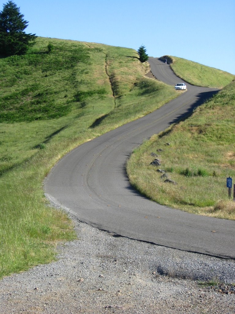
This ride is the product of two rather disparate forces. One, having priorly ridden to the southern trailhead of the Bolinas Ridge Fire Road from Olema last year, I always wondered what West Ridgecrest Boulevard and Bolinas - Fairfax Road are like. On the Mount Tamalpais Ride II, I got to ride 1/3 of the West Ridgecrest Boulevard — which still leaves 2/3 of it to explore. Two, I had a conversation with heatxsink a month ago, where I expressed a curious paradox: I am much fitter now than I was last year, and yet, I felt like I possessed less mental toughness. It takes a certain mindset to go on an epic, and get on it alone. This year, I have been largely going on shorter rides. (Well, my definition of "short," anyways.) And I wondered why.
heatxsink's one-liner, true to his character, was concise and to the point: "Well, that's because you no longer have a demon on your back." Very true. I no longer have personal — emotional or otherwise — demons to exorcise. Perhaps that's why voluntarily taking on epics seem harder. There seems no reason to look for pain; self-flagellation does require an ultimate purpose after all.
After much thought, I embark my first voluntary epic ride since Easter. In search of pleasure; in search of meaning; in search of pain. Let it begin.
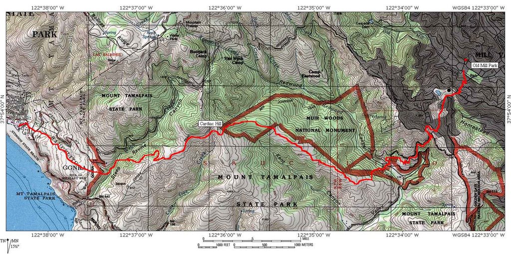
 Map of today's ride. 2999 track points (making up a thick greenish-blue line) laid by the GPS unit. Trivia: during the same session, after 3000 track points have been laid, the Garmin Forerunner GPS unit begins overwriting the earlier track points.
  TOPO!'s elevation profile.
 Had a wonderful breakfast (3 eggs, 3 sausages, hash browns, toast and endless refills of freshly-brewed, piping-hot, black as death, coffee) at my favorite place along the Embarcadero (picture taken at the end of the day). This place has been around for more than 3 decades, possibly more. Chatting with the proprietor, I learned that the entire Embarcadero area used to be filled with businesses employing longshoremen. That was the reason why his business, the Java House Cafe, had such early operating hours. Upon my answer to his inquiry as to my planned route today, the distinguished, elderly gentlemen laid a concerned arm on my shoulder and asked, "Son, are you feeling all right?"
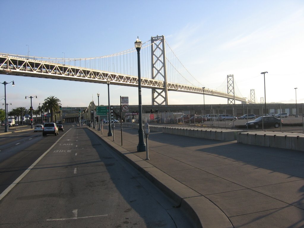 Making my way along the Embarcadero.
 Predator III?
 The meadow beside Upper Fort Mason.
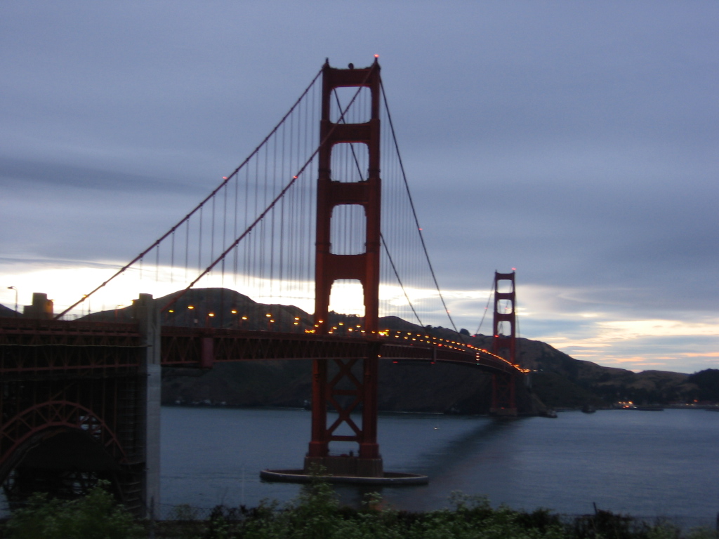
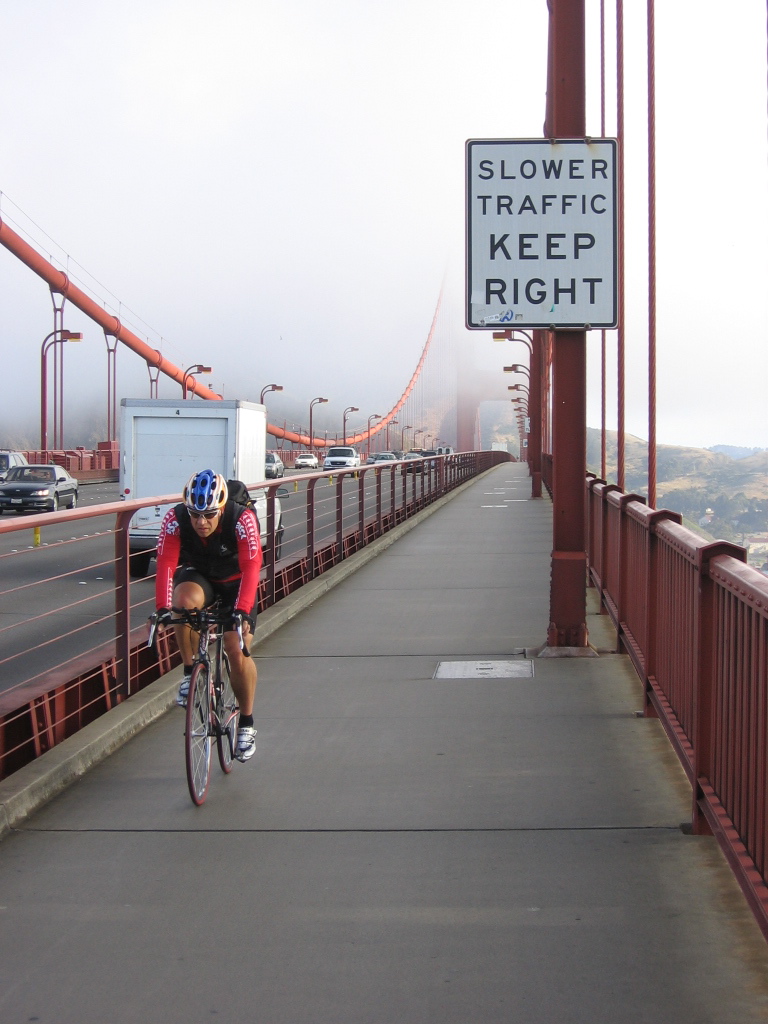 Crossing the Golden Gate Bridge.
 Bike path leaving Sausalito and heading towards Mount Tamalpais.
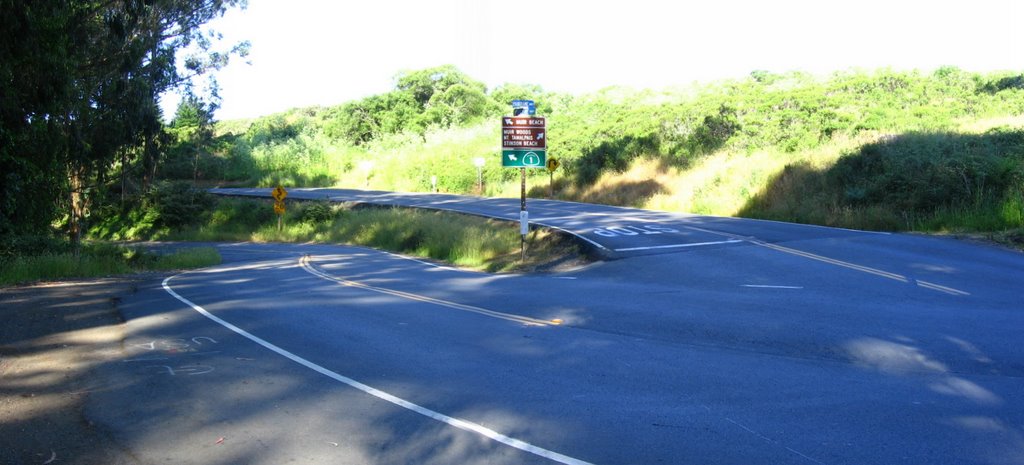 Elevation 600 ft. Junction of Shoreline Highway with Panoramic Highway. Left descends 580 ft to Muir Beach, right ascends 900 ft to Pantoll Ranger Station.
 Baddabing!
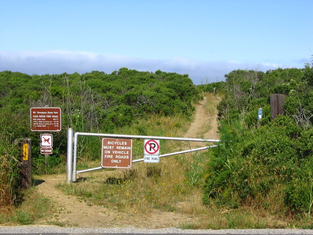 Elevation 680 ft. The eastern trailhead to Dias Ridge Fire Road. It is supposed to be a rough descent. Maybe I will try it some day.
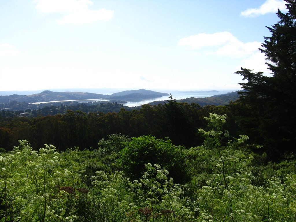 Elevation 700 ft. Looking at Angel Island and Tiburon.
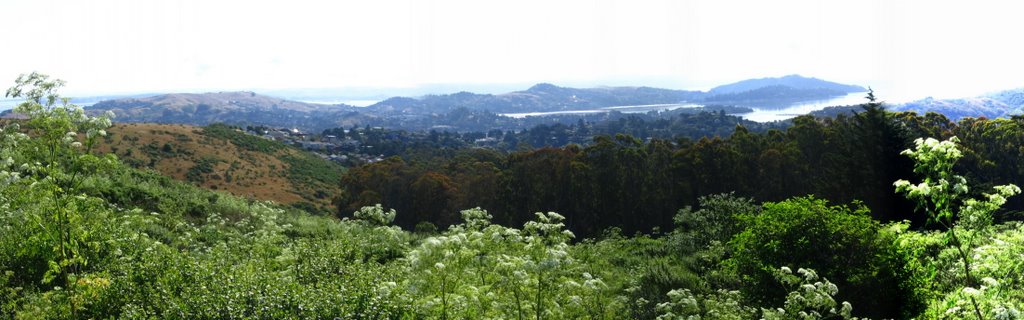 Wider view.
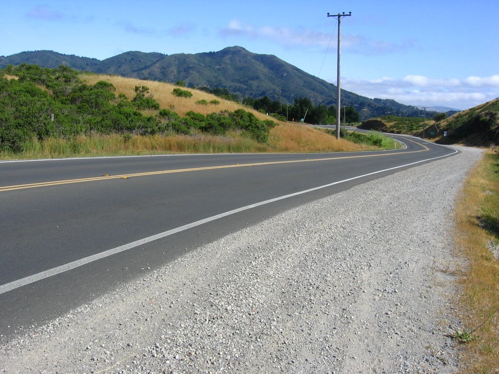 Elevation 780 ft. Panoramic Highway dipping 50 ft.
 Elevation 730 ft. Junction with Muir Woods Road and Sequoia Valley Road.
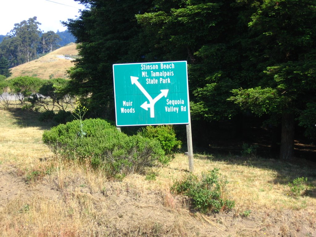 What it says.
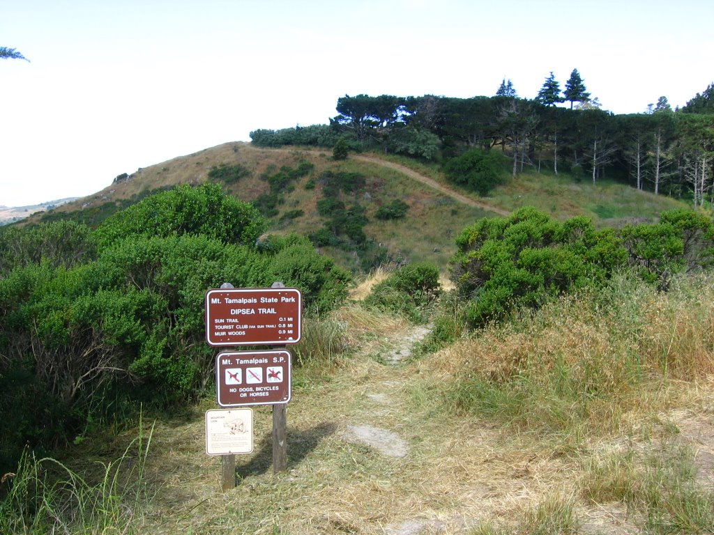 Dipsea Trail, the site of the oldest cross-country race in America, the Dipsea Race. Supposedly the trail if you are into trail running. With 2200 ft of elevation gain, the challenging 7.1 mile (11.4 km) trail goes from Mill Valley to Stinson Beach.
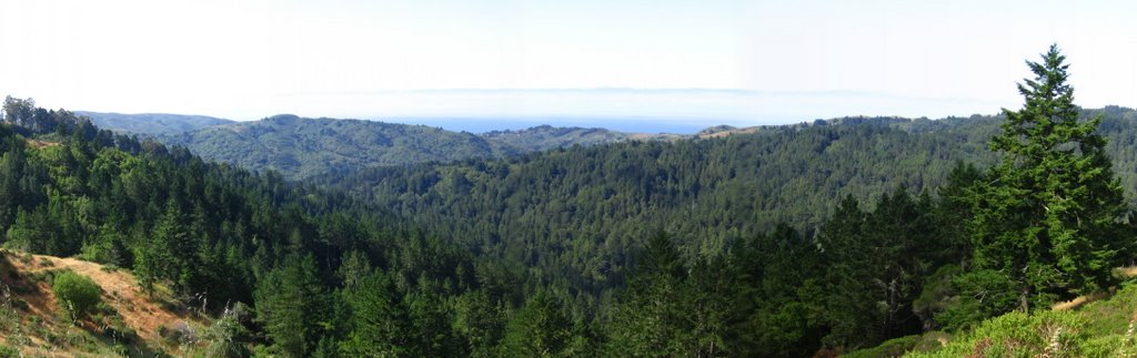 Elevation 1000 ft. Panoramic Highway.
 Elevation 940 ft. Entrance to Camp Alice Eastwood.
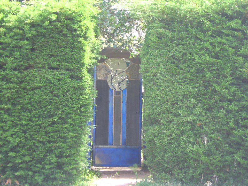 The front gate of a house across the entrance. I just had to take this picture. I like the way it mimics stained glasswork.
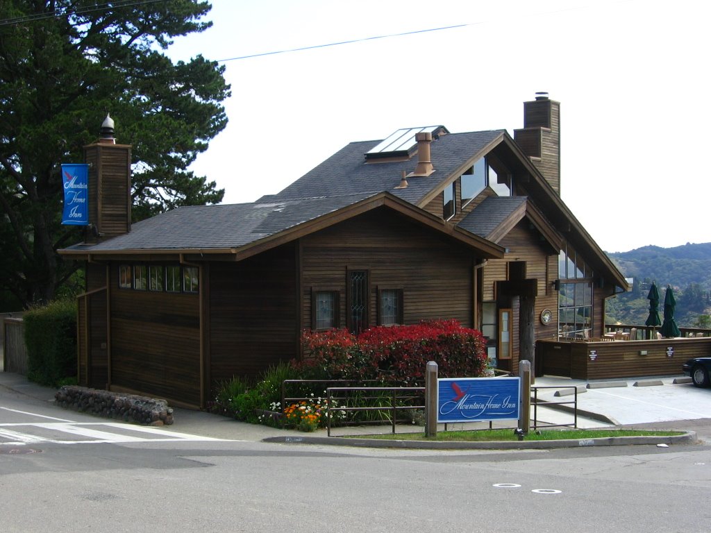 Elevation 930 ft. A 1/4 mile (400 m) down is the charming Mountain Home Inn. Channel surfers be advised: all the rooms do not have TVs.
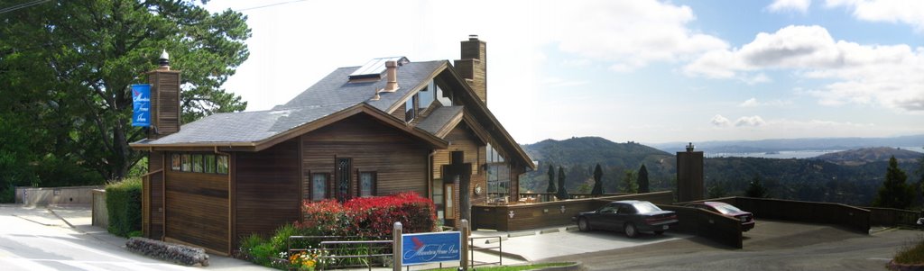 Wider view.
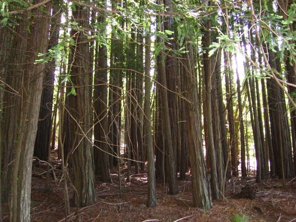 Shortly after, Panoramic Highway becomes shady and cool, which is a good thing as it climbs 570 ft.
 Elevation 1500 ft. Emerging from the cool canopy of the forest, a familiar sight greets me, Pantoll Ranger Station.
 Taking Pantoll Road to Rock Spring.
 View before ascending Trojan Point. Again, Angel Island and Tiburon come into view. Faintly to their right is Treasure Island. A portion of Panoramic Highway winding its way down to Stinson Beach can be seen below the forest canopy.
 Looking back: a view of Pantoll Road leading to Trojan Point.
 A closer view.
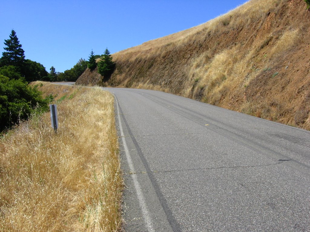 Ascending Trojan Point. A cute couple, Chris and Elizabeth, is getting married on top of this climb this weekend. What it looked like a month ago when it was greener (Trojan Point is the grove of trees on top of the knoll to the right).
 A cyclist descending from Trojan Point.
 Approaching Rock Spring.
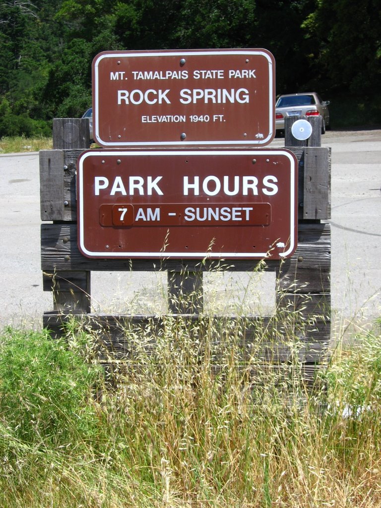 Elevation 1940 ft. Rock Spring.
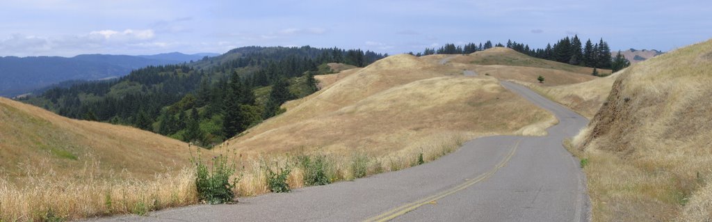
 Getting on West Ridgecrest Boulevard (which leads to Bolinas - Fairfax Road).
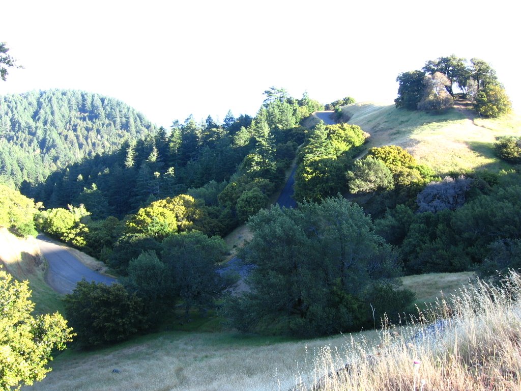
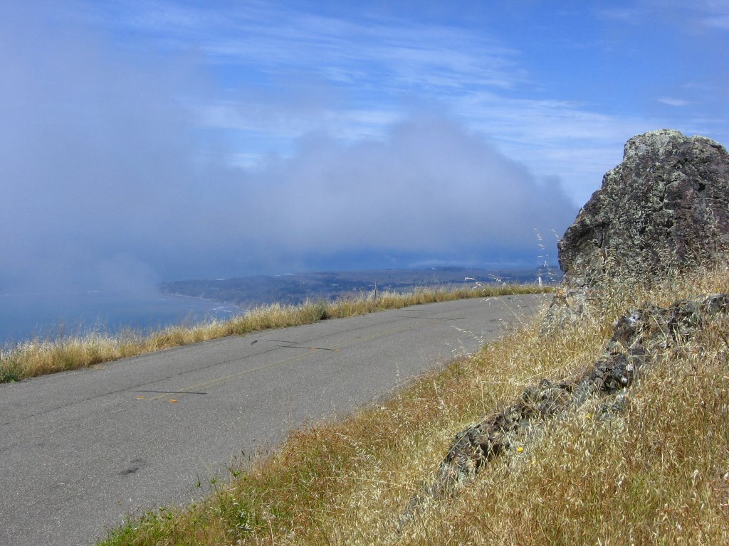 Elevation 2050 ft. The highest point of West Ridgecrest Boulevard.
  The trail on the right is Laurel Dell Road — which I emerged from on a previous ride.
 Eastern trailhead of Willow Camp Fire Road. It joins Highway 1 just north of Stinson Beach. The hippie town of Bolinas is visible below.
  Correct me if I am wrong, but that looks more like singletrack than fire road. I know this is not Willow Camp Spur, and this trail lies immediately behind the sign in the preceding picture. Hmm...
 Willow Camp Fire Road is reputed to be steep and hair-raising. I have yet to try it.
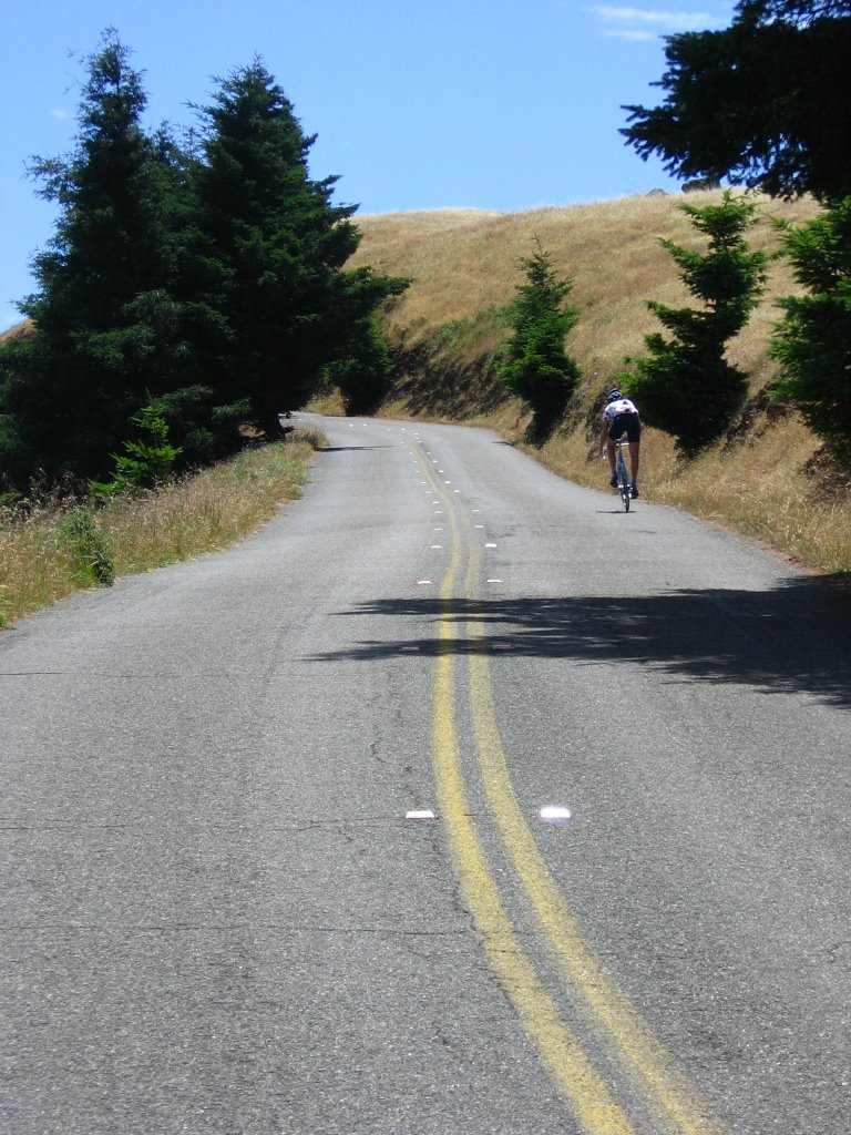 Another cyclist climbing up one of the several rollers along this road.
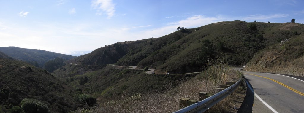
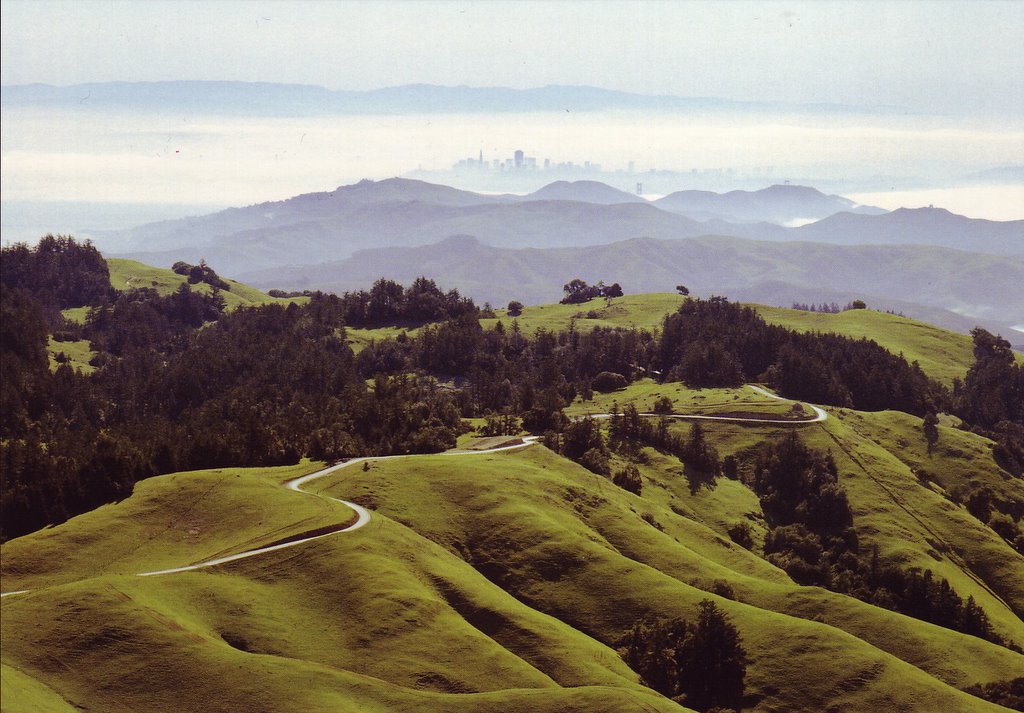
 West Ridgecrest Boulevard. The views are spectacular. What it looks like at the beginning of spring (aerial photograph by Robert Campbell), when the grass is green.
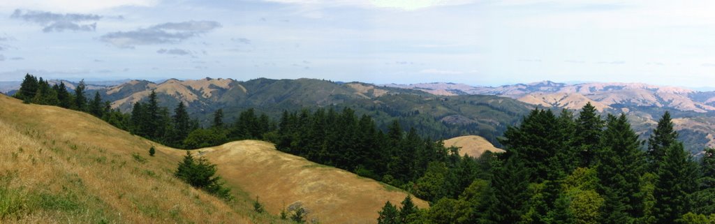 View northeast.
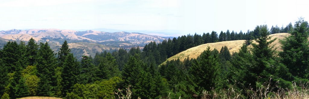 View east.
 View west. Bolinas is still visible.
 View northwest.
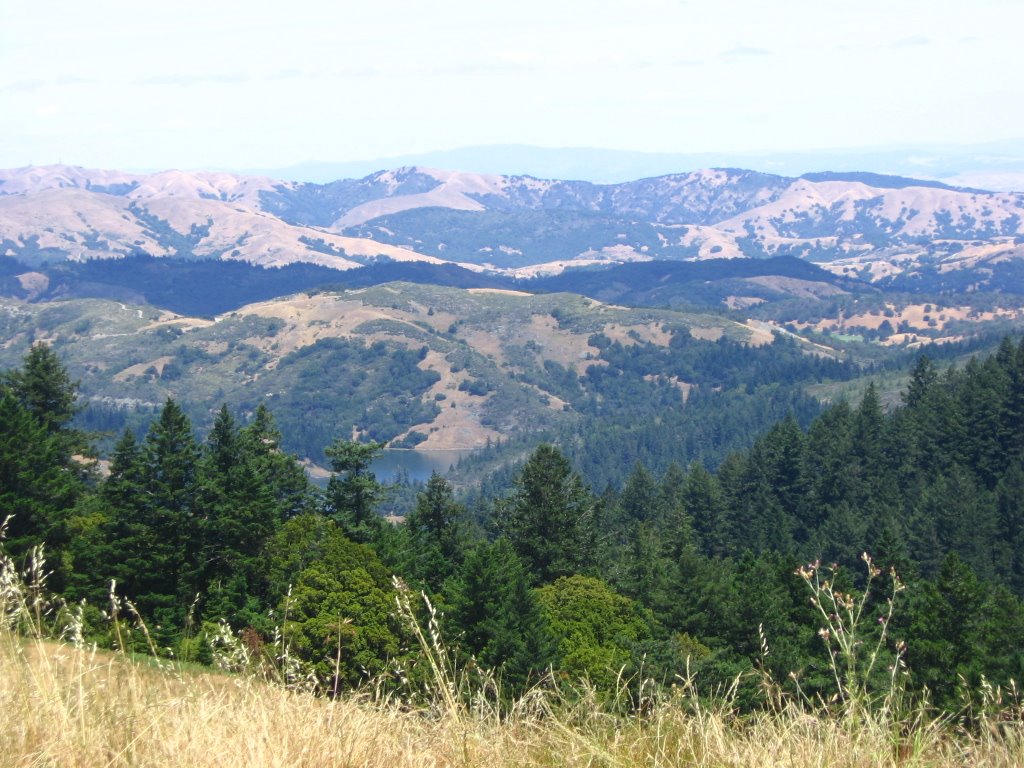 In the center, just above the canopy, Alpine Lake.
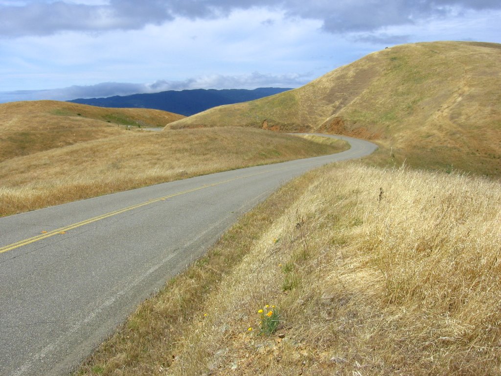 Are words necessary?
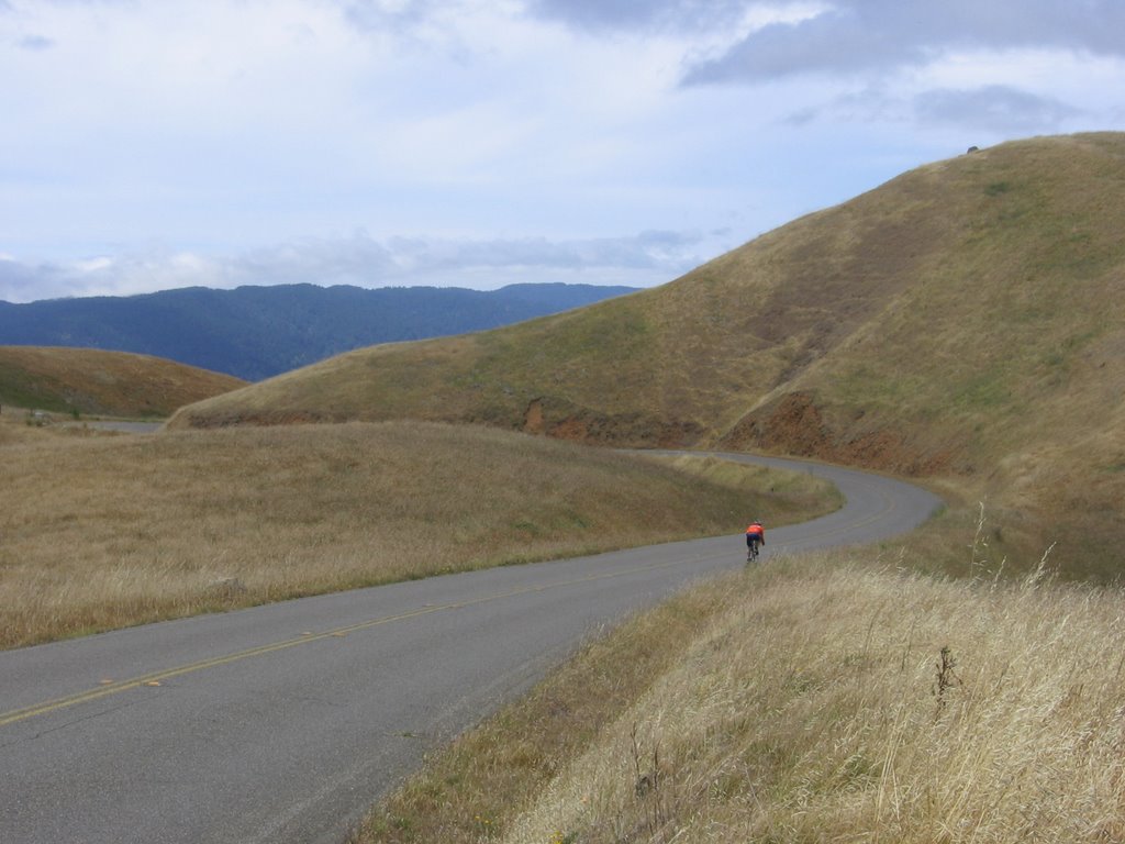
Benedicto: May your trails be crooked, winding, lonesome, dangerous, leading to the most amazing view. May your mountains rise into and above the clouds. May your rivers flow without end, meandering through pastoral valleys tinkling with bells, past temples and castles and poets towers into a dark primeval forest where tigers belch and monkeys howl, through miasmal and mysterious swamps and down into a desert of red rock, blue mesas, domes and pinnacles and grottos of endless stone, and down again into a deep vast ancient unknown chasm where bars of sunlight blaze on profiled cliffs, where deer walk across the white sand beaches, where storms come and go as lightning clangs upon the high crags, where something strange and more beautiful and more full of wonder than your deepest dreams waits for you — beyond that next turning of the canyon walls.(Edward P. Abbey)
 More.
More.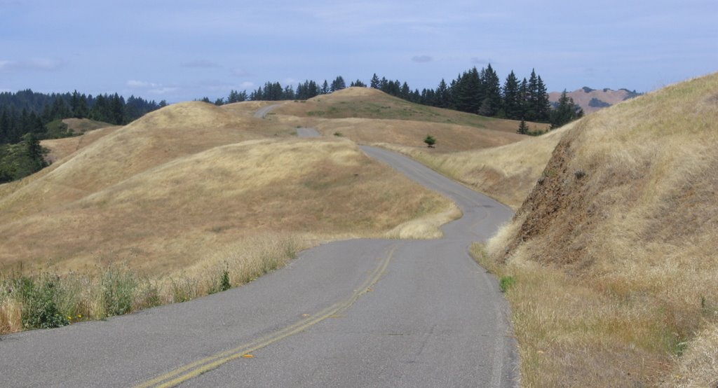 Close up.
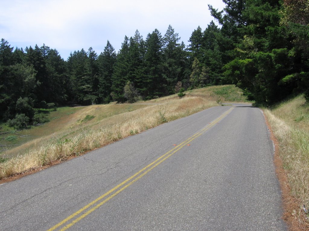 Leaving the exposed ridge and entering a forest again.
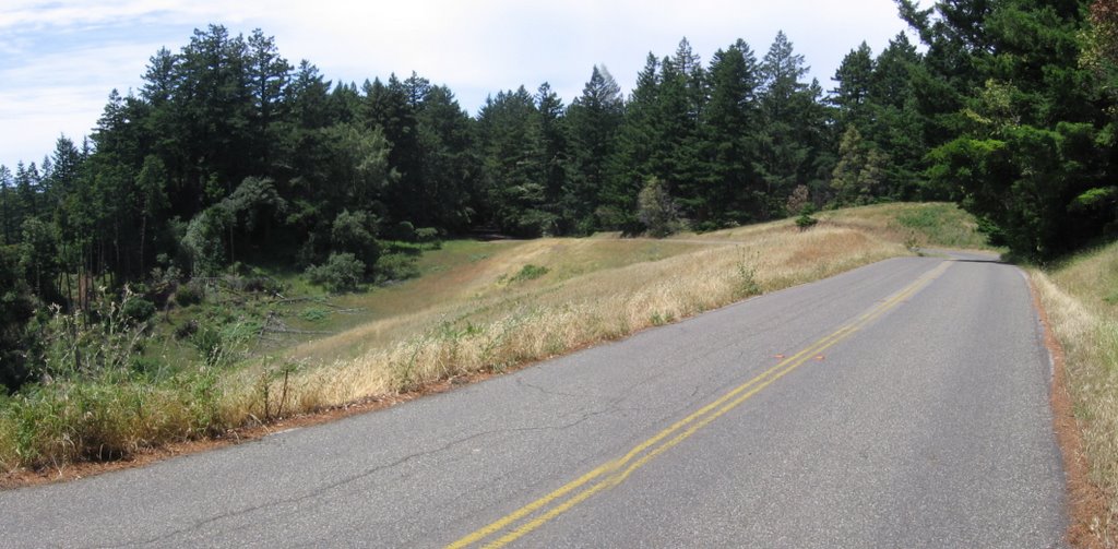 Slightly wider view.
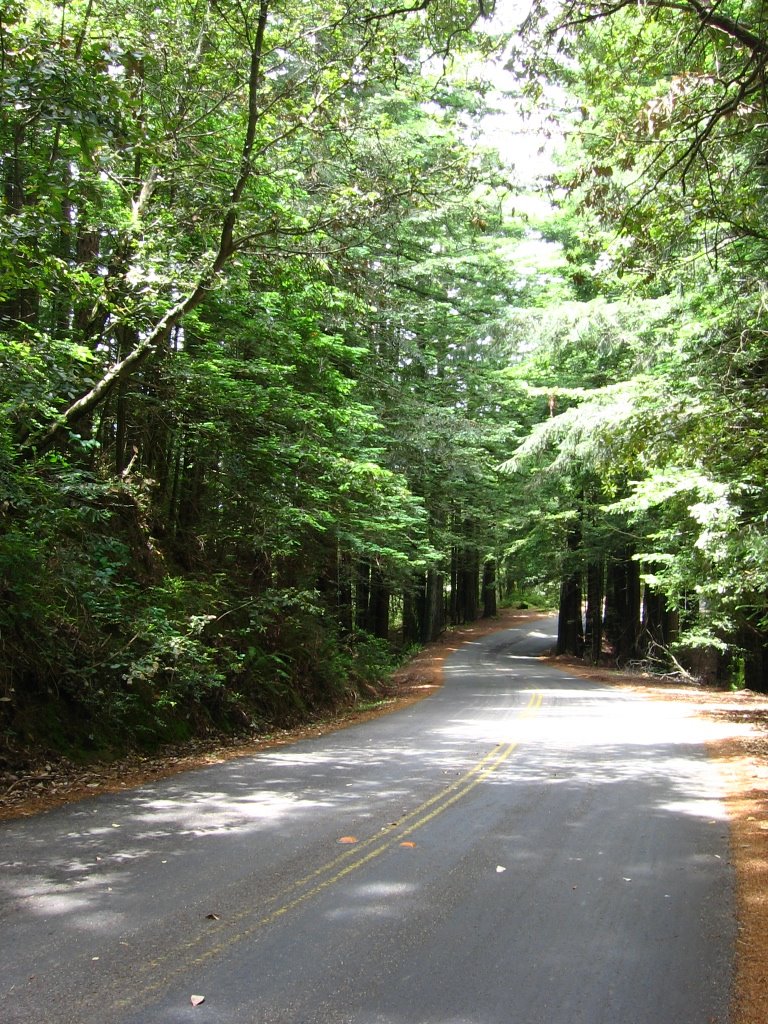 Flying through a living, green corridor at speed.
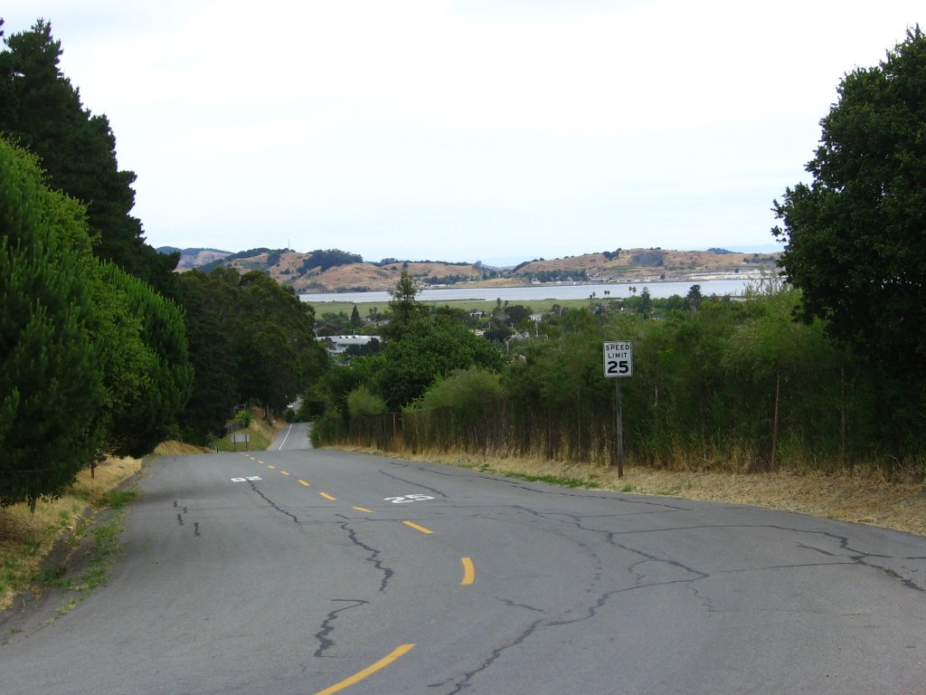
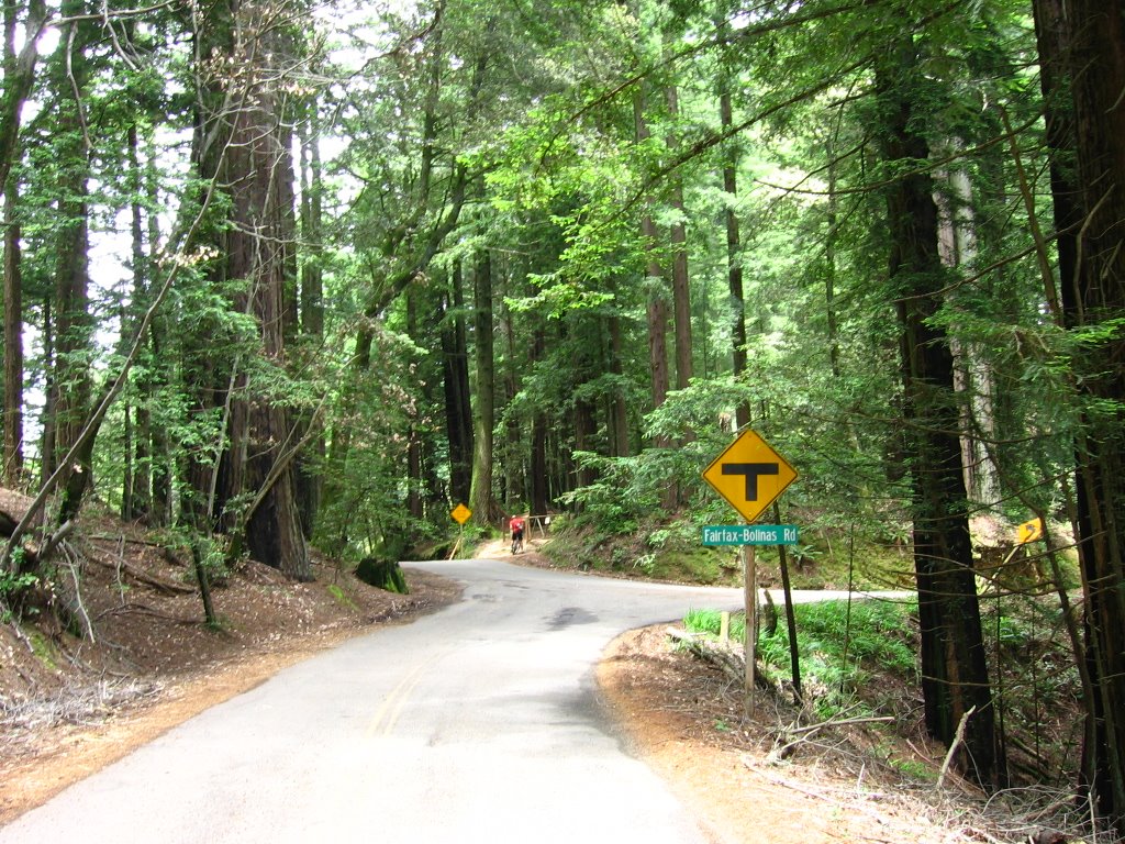 Elevation 1500 ft. Northbound West Ridgecrest Boulevard terminates into Fairfax - Bolinas Road. Left drops steeply to Bolinas (elevation 10 ft). I will be heading right toward Fairfax.
 Southern trailhead of Bolinas Ridge Fire Road. The last time I was here, it was foggy.
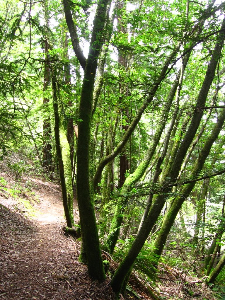 Taking a moment to listen to the wind in the trees.
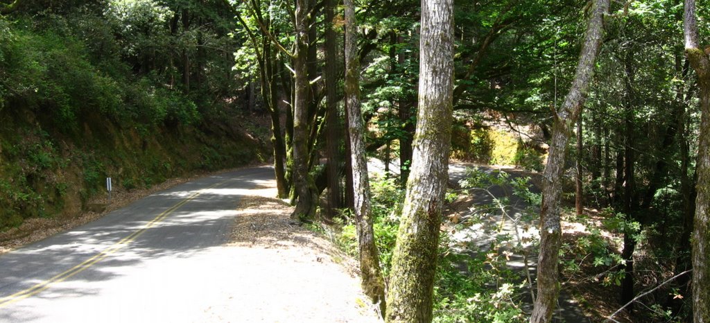 While descending to Alpine Lake, Bolinas-Fairfax Road switchbacks many times. Although the asphalt is often cracked and bumpy, it is generally free of sand and gravel — which is good news when cornering.
 Alpine Lake and the same road below.
 Elevation 653 ft. Alpine Lake. The water from Cataract Creek, which flows through Laurel Dell (1660 ft) end up here.
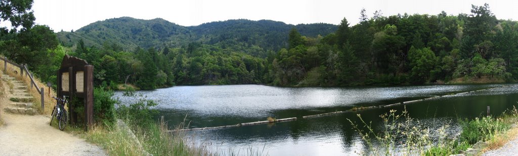
A map of the area. More about Cataract Trail here.
 Another view. After descending to the dam, Bolinas - Fairfax Road climbs again.
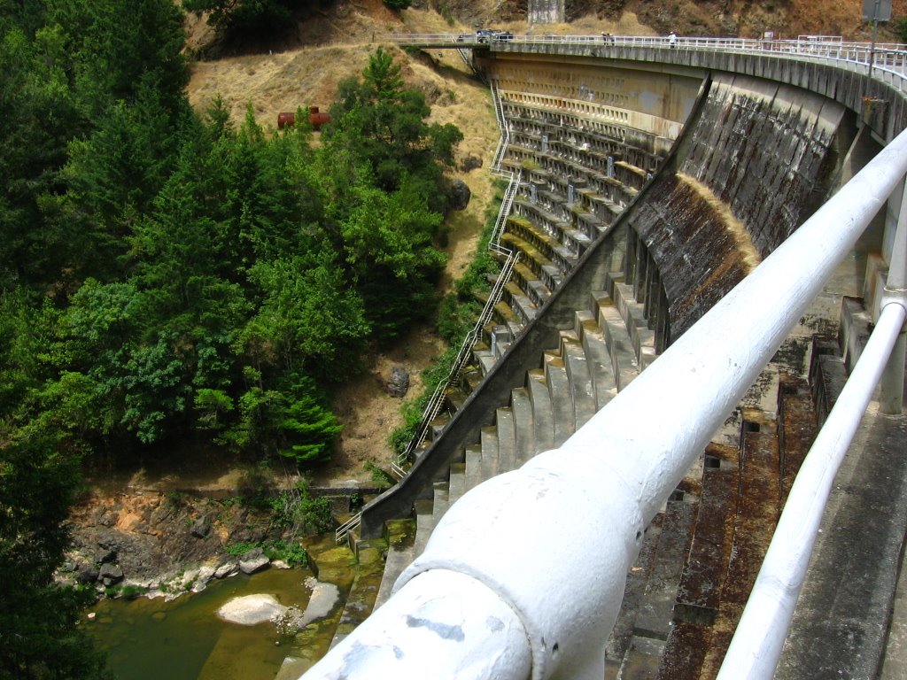 Alpine Lake dam.
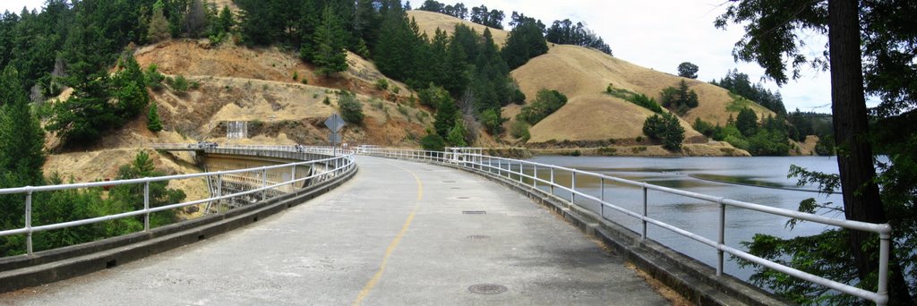 Crossing the dam.
 USGS marker.
 Wild flowers on the hillsides meld in a kaleidoscope of colors as I climb up the eastern shore of Alpine Lake.
 Long climbs, deep breathing, quiet roads, and strength in my legs; these, my heart knows as happiness and content.
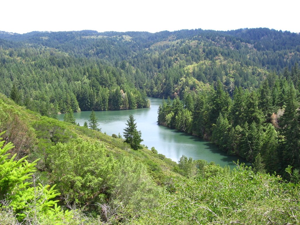 Elevation 860 ft. Looking down at Alpine Lake.
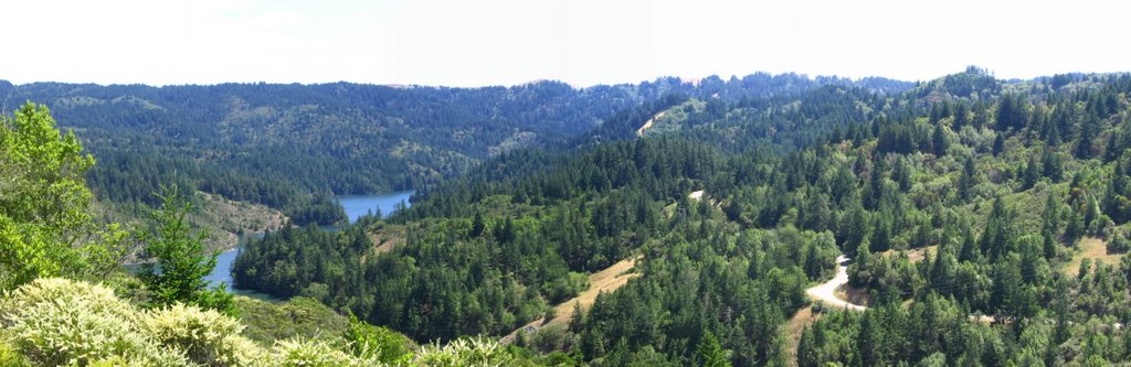 Elevation 1023 ft. Another view of Alpine Lake. The road on the right is part of Bolinas - Fairfax Road (i.e. what I just climbed up).
 Close up. Red circle denotes where I was standing on West Ridgecrest Boulevard earlier when I took this picture of Alpine Lake.
 Elevation 1080 ft. Pine Mountain Fire Road trailhead.
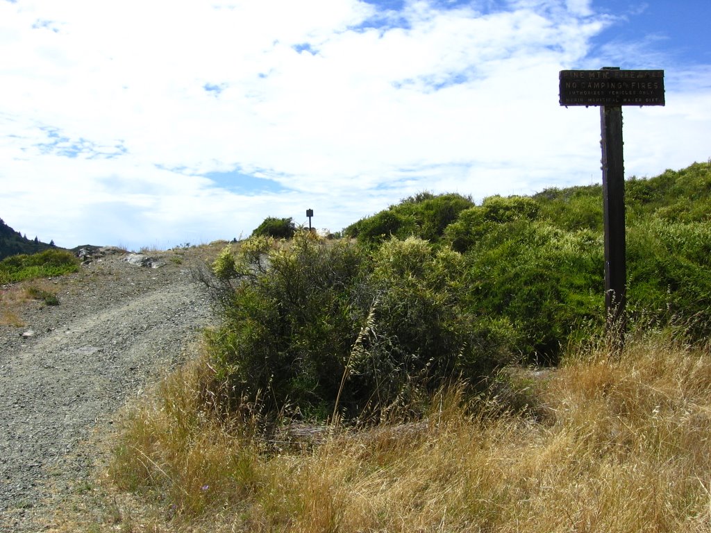 This trail leads to a lot of classic mountain biking trails in the Pine Mountain tradition. I.e. steep, loose, and rutted. Hint: Repack Road is one of them.
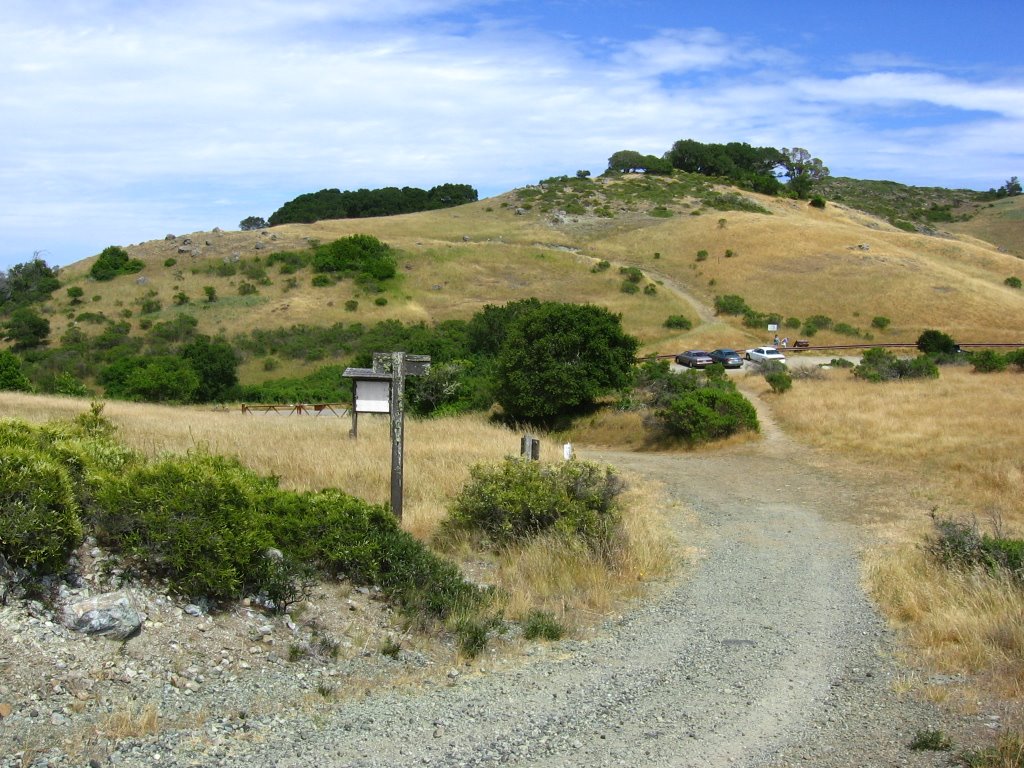 Azalea Hill (1217 ft) lies across the road.
 A view of North Bay from 1100 ft before the descent.
 Nestled among the foothills is the Meadow Club Golf Course.
 What's on the right.
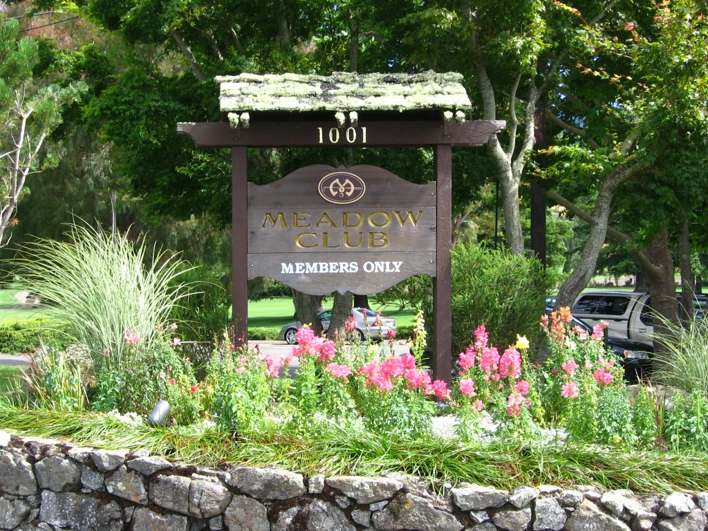 Elevation 720 ft.
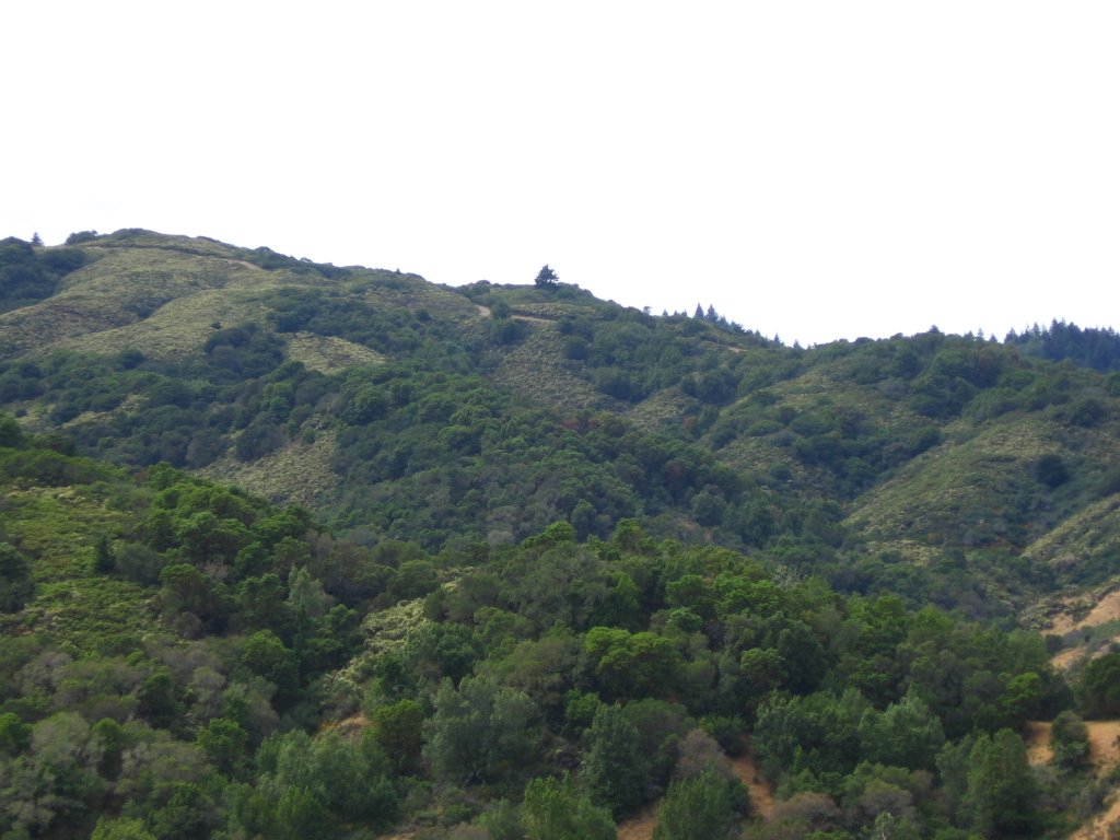
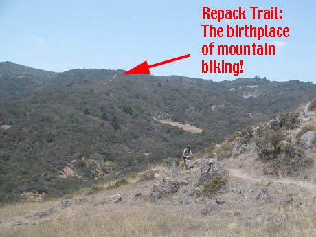
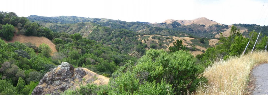 Across the road, the famous Repack Road can be seen winding down the ridgeline.
 A (very bad) composite close up shot of a portion of Repack Road.
It started innocuously enough. A motorcyclist turned bikie discovered the old dirt road west of Fairfax, Marin County, in the early ‘70s. He and his buddies would ride or push their 1930s or ‘40s ballooners to the top of the ridge for the downhill thrill. The road plummeted 1300 feet in less than 2.1 miles. On the twisting, sometimes precipitous decent, the bikes’ antiquated hub coaster brakes would get so hot that the grease would vaporize. After a run or two, the hub had to be repacked with new grease (thus the term “Repack”).(Joe Breeze)
 Zooming in on part of Repack Road. Legends such as Joe Breeze (Breezer), Tom Ritchey (Ritchey Logic), Gary Fisher, Mike Sinyard (Specialized), Charlie Kelly, and Otis Guy would blast down this ridge in the 1970s, spawning the evolution of the mountain bike.
  The last part of Repack Road before it becomes Cascade Drive Road. A little more history from Charlie Kelly.
 Elevation 500 ft. Taking a right onto Sky Oaks Road to check out Lake Lagunitas (and a few hundred more feet of climbing).
 Wild Turkeys. You can hear them from a mile away. (The same may be said for obnoxious idiots on cell phones, though they are nowhere as endearing.)
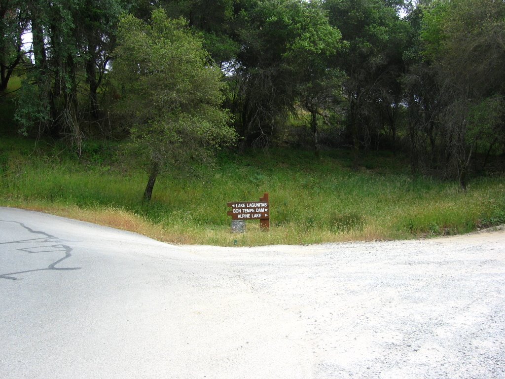 Elevation 750 ft. The road to Bon Tempe Lake is gravel so I decided to give a miss for today. Fast descents + slicks + gravel = usually a bad combination.
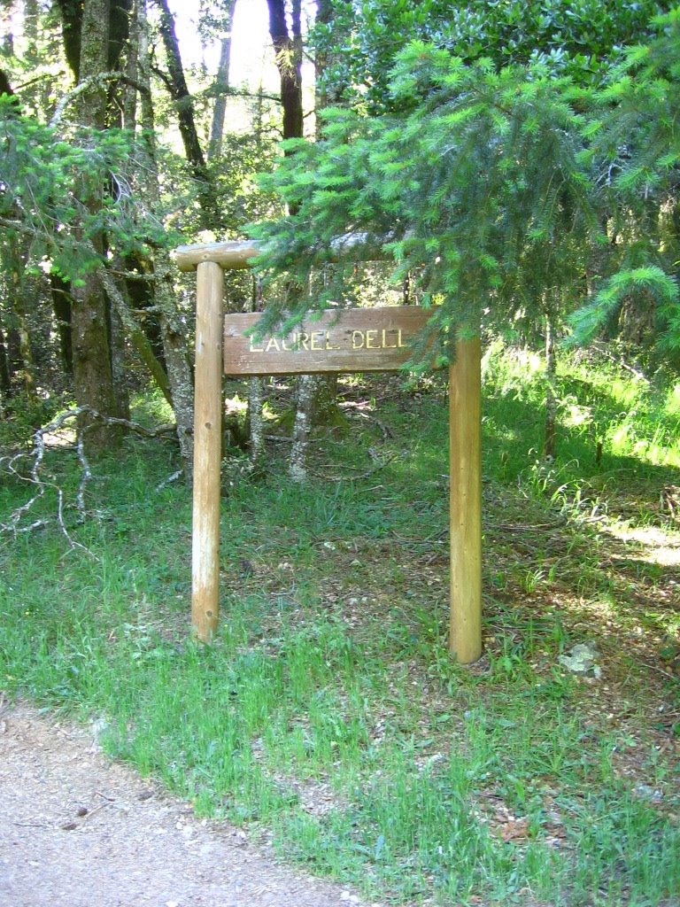
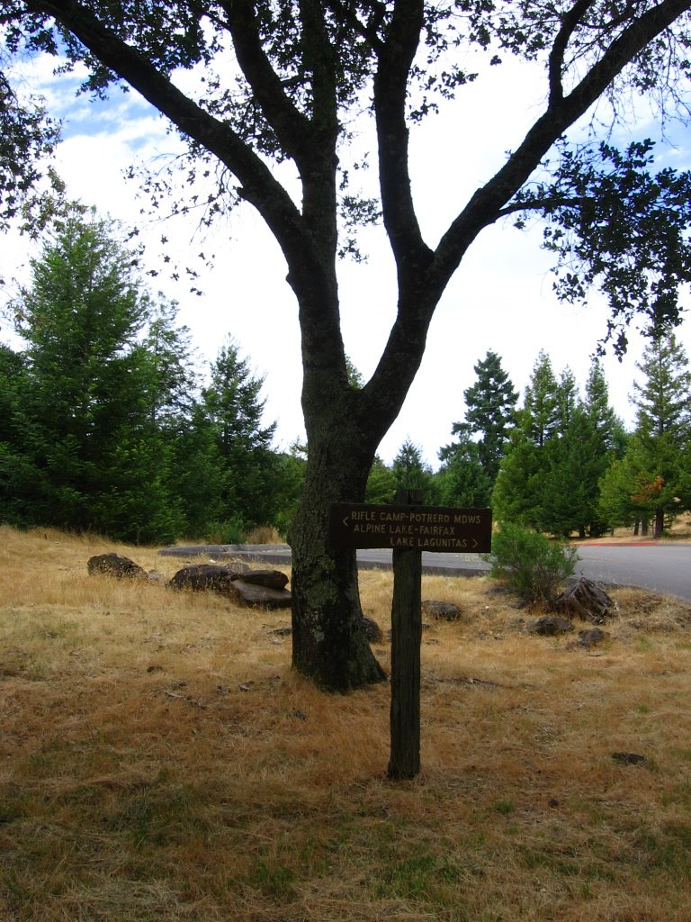 Trail sign. There are multiple drinking fountains here.
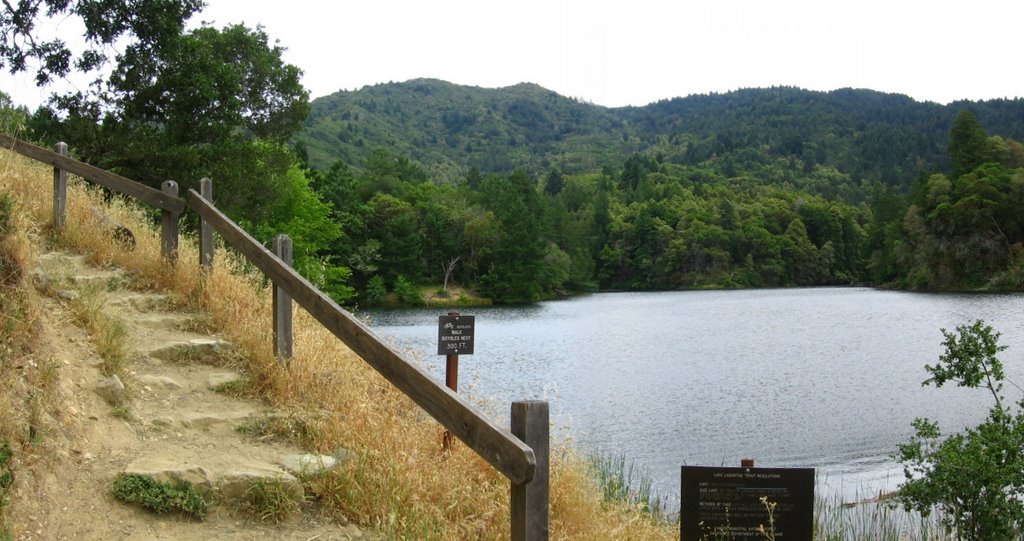 Elevation 783 ft. Lake Lagunitas.
 Three forks of Lagunitas Creek--East, Middle and West--drain the northern flanks of Mount Tamalpais and flow into Lake Lagunitas. Lake Lagunitas flows into Bon Tempe Lake (716 ft), which in turn feeds into Alpine Lake (644 ft). Alpine Lake then drains into Kent Lake (400 ft). The waters of Kent Lake ultimately flow into Tomales Bay, north of Point Reyes Station (Source).
 Wider view. Ate half an expired energy bar (Best before 5th April 2005) here. Bleah!
 Elevation 800 ft. Descending back to the Sky Oaks Road and Bolinas - Fairfax Road junction (500 ft).
From there, it's a free-wheeling descent to Fairfax. Fell in love with this small town. It seems to be a more laid-back, less touristy version of Queenstown, New Zealand. It is quaint, gorgeous, has a small town feel, and yet possesses many of the amenities of the big city, without the accompanying pretentiousness of yuppie scum.
Trivia: Santa Clara University alumnae, U.S. Olympian, U.S. National Mountain Bike Cross Country Champion, cyclocross racer, and Seven Cycles-sponsored professional cyclist, Mary McConneloug, hails from Fairfax.
 Town of Ross. Across from Saint Anselm Catholic Church, a blonde, clad in a soft, black and white, horizontally-striped, long-sleeve tee, and faded jeans; with long flowing hair, and a long, suede leather sling bag with rainbow-beaded tassels casually hanging from her left shoulder; slowly pedaling on her retro-style Schwinn cruiser; stole my heart for a few moments as she cruised along a pavement lined with white picket fences.
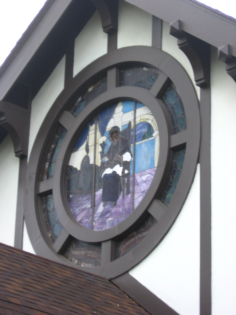 Stained glass. (Yes, I'm a sucker for stained glass artwork.) From here, it is all easy going as a system of bike paths lead all the way back to the Golden Gate Bridge.
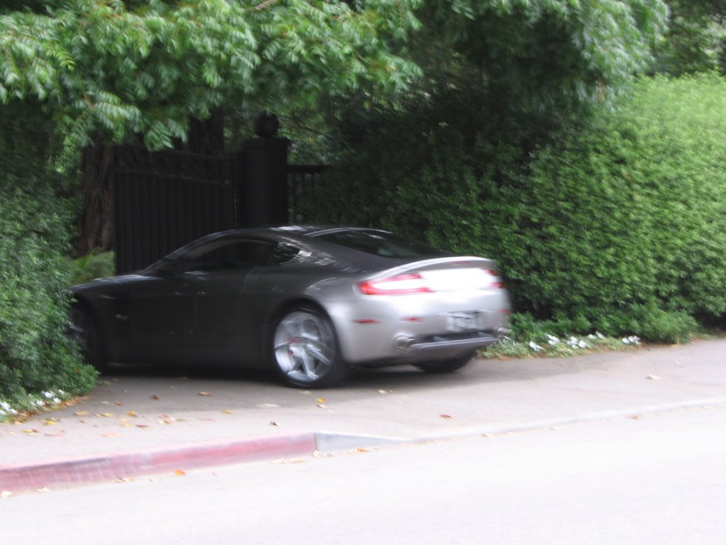 Took this blurry picture for crufty. I think it is an Aston Martin, no?
 I think I made the old man's day as he watched me scramble to take a picture of his supercar before he drove through his wrought iron gate.

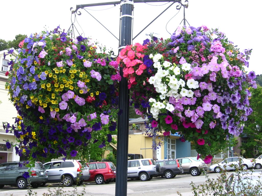
Returning to Menke Park, Corte Madera, the place where I spent a couple hours lost and frustrated on a ride last year. Explosions of color (and pollen *heh!*) emanate from giant flower baskets hanging from lamp posts in Old Corte Madera Town Square.
 At the convergence of Meadowsweet Drive and Casa Buena Drive is the entrance to the Alto Tunnel Detour for bicycles. The infamous San Quentin Prison (official; Wikipedia) lies across the waters to the right, hidden by the tree. Straight ahead, over the hills, is the city of San Rafael.
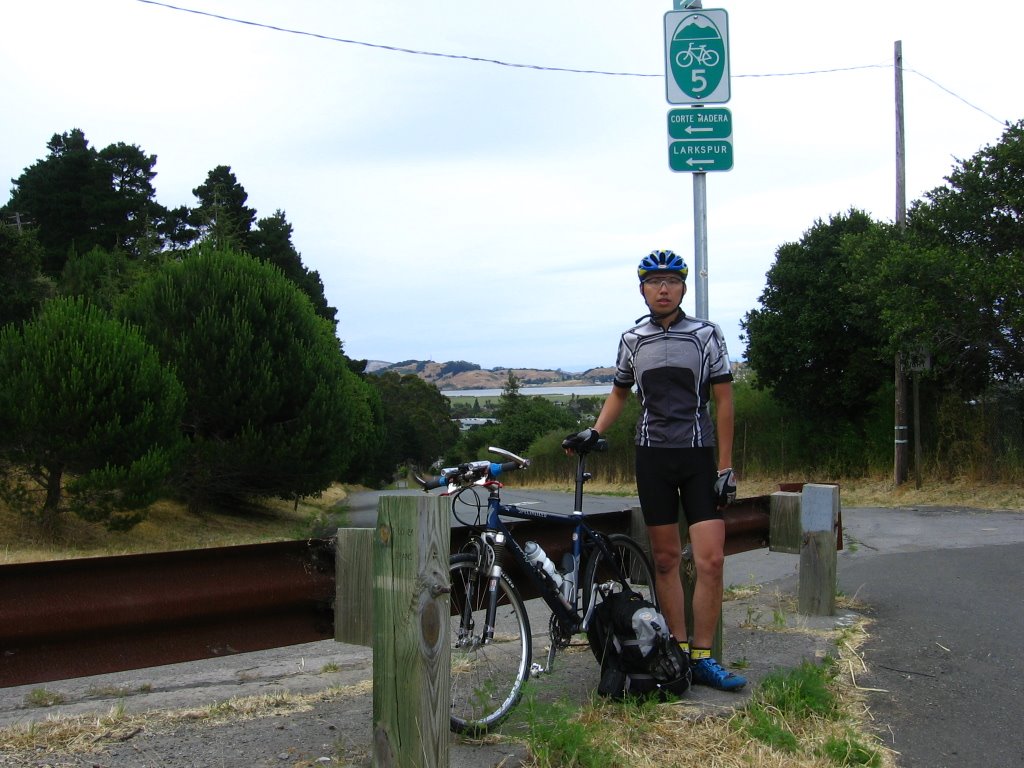 All 6' 2" (187 cm), 148 lbs (67.3 kg) of moi. Another shot in warmer clothes last fall. From here, I leave Corte Madera for Mill Valley.
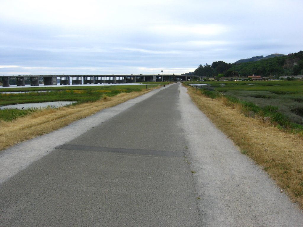 Once you are familiar with the layout of the bike paths, it is practically an expressway for bicycles. Here, I'm leaving Mill Valley and about to ride under the Richardson Bay Bridge and enter Marin City.
 Elevation 10 ft. Looking at downtown San Francisco from Sausalito.
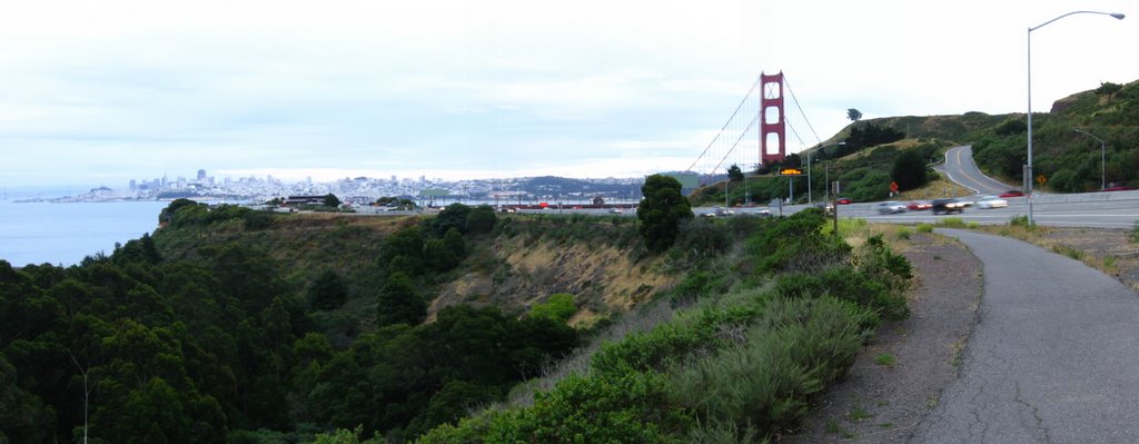 Elevation 320 ft. On the bike path, about to cross the Golden Gate Bridge back to San Francisco. On the right, across the freeway, the road going uphill is Conzelmann Road. It climbs up to 800 ft and then descends to Point Bonita Lighthouse and the Marin Headlands (official site; Wikipedia article).
 On the east side of the bridge. (According to the rules, I'm supposed to use the west side at this hour. Oops!)
 While I was 2/3rd across the bridge, some poor soul leapt to his/her death on the west side. The San Francisco Chronicle published a seven-part article on this social phenomenon.
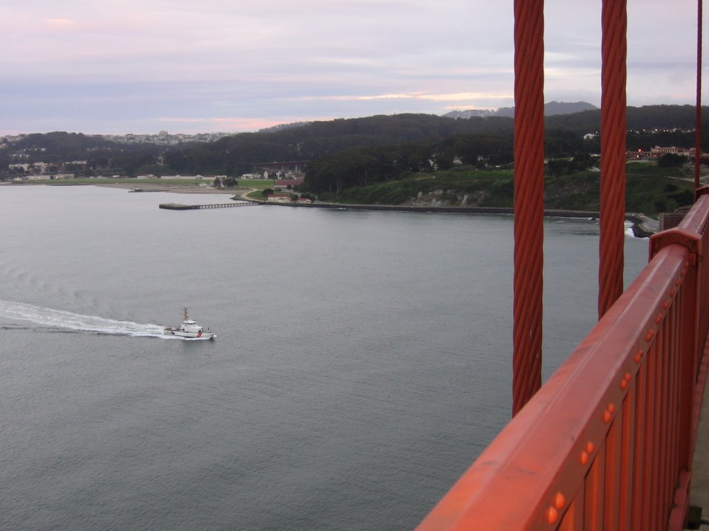 Coast Guard patrol boat responding.
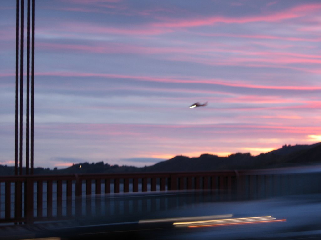 Coast Guard Air Station helicopter flying in from San Francisco International Airport.
 Police officers keeping a lookout for the body.
 Hawk Hill (920 ft) at dusk. Trivia: Marin Bikes produces a model by that name.
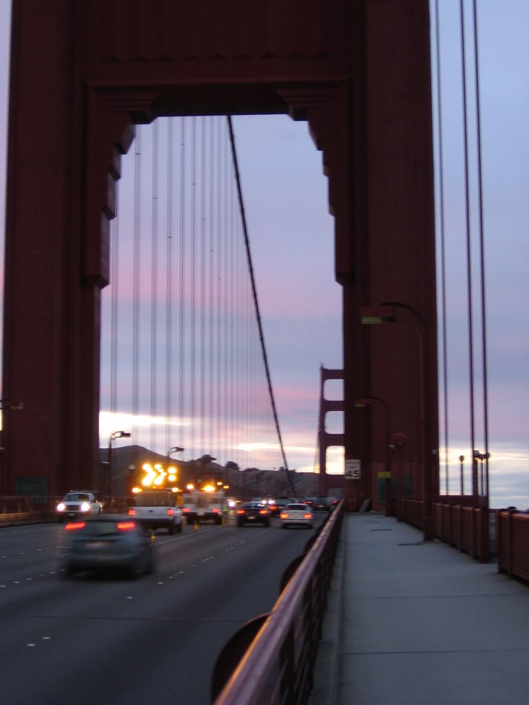 The guys in the trucks with flashing arrow signs were so cool. They actually stopped laying down the traffic cones long enough for me to take my pictures before continuing.
 Zooming in.
 I must admit, this unexpected incident put a damper on my mood. While I gazed at the darkening sky, all I could think of was that nameless individual falling. Falling. Falling in the twilight. Falling through the last moments of a life unwanted. Undesired. Uncared for. Until everything comes to a terrific, blinding, crushing halt. That was the last sunset that individual saw. I wonder if anybody thought about that. I wonder if anyone cared.
 Whoever you were, I'm sorry there was no one there for you, mate. Truly.
 San Francisco side of the bridge. It is cooling down. Time to put my arm and leg warmers back on.
 Sunset between the trees at Upper Fort Mason.
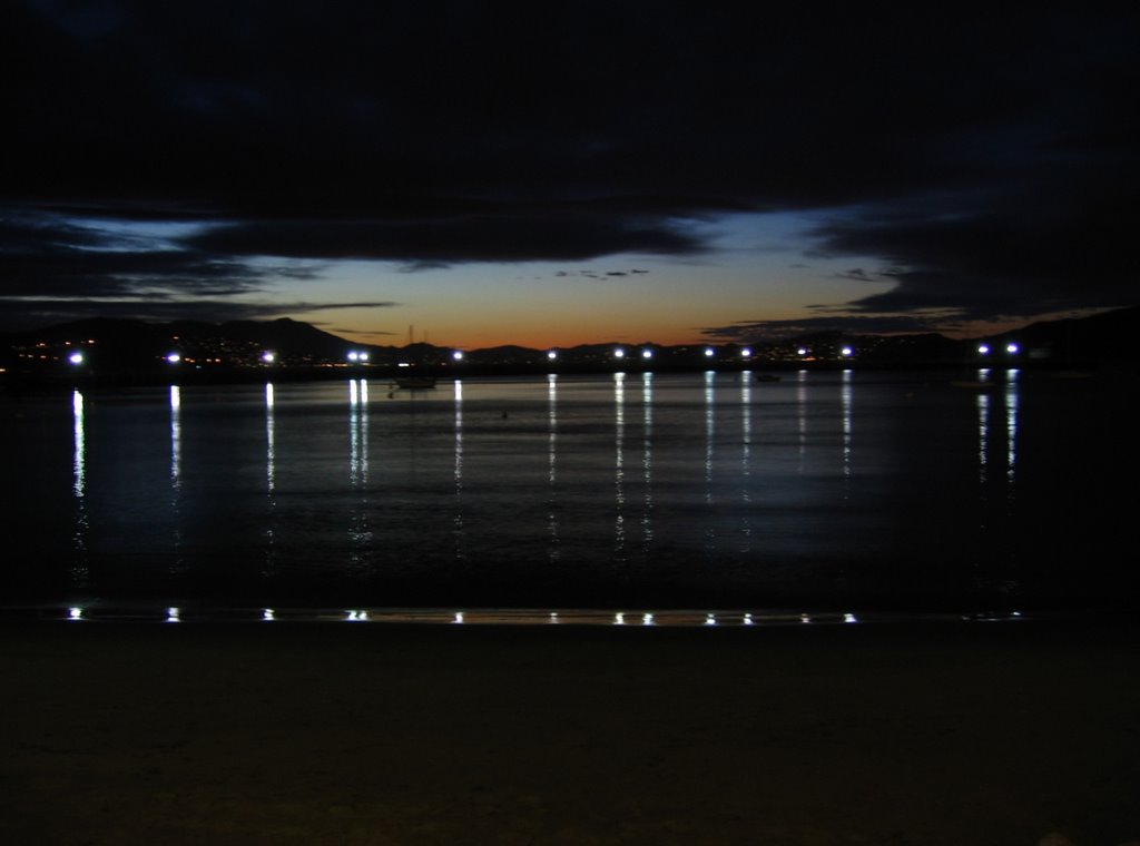 Twilight at Aquatic Park. The waters are calm tonight, and the air is still.
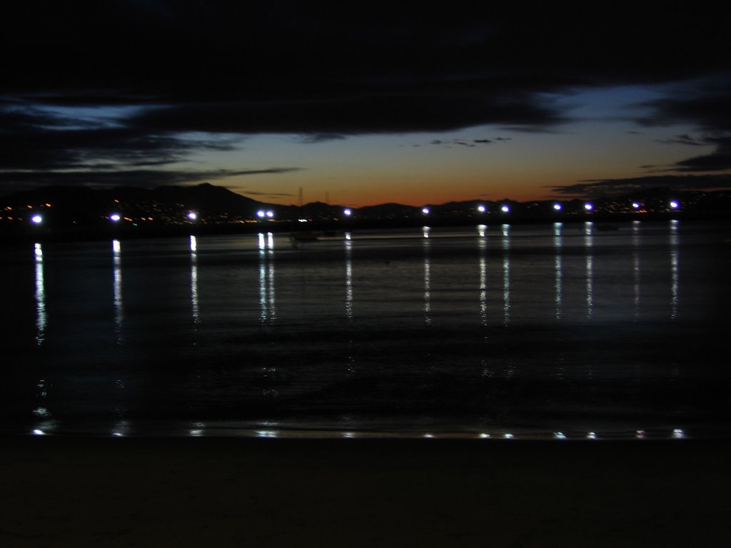 Mount Tamalpais' silhouette. I sit on the stone steps and linger a while. Then, it's an easy 5 miles back to the 4th and King CalTrain Station.
While I did intend this ride to be an epic, it most certainly did not feel like one. The numbers though, say it is. My muscles and my mind tell me that it isn't. It just felt like a longer ride. I guess heatxsink was right. The demon is gone. What was driving me during the ride then is love. Pure unadulterated love. Love for breathing — long-drawn, purposeful, and deep. Love for motion, generated by my own muscles. Love of solitude. Love for travel. Love of cycling. Love.
Epilogue:
Total distance: cyclo-computer 75.7 miles (121.1 km) / GPS 76.16 miles (121.9 km) / TOPO! 74.2 miles (118.8 km).
Total elevation climbed: Altimeter 5490 ft (1673.8 m) / GPS + TOPO! 6836 ft (2084.2 m).
Temperature range: 53 F to 71 F (11.7 C to 21.7 C).
Fluids consumed: 12 fl. oz. of CytoMax / 40 fl. oz. of water.
Self-portrait taken using UltraPod II.
Ride conducted solo.

4 comments:
What a gallery of pictures! I felt like I was there. Thanks!
Walker T
www.yourmtb.com
Thank you for dropping by, Walker!
Much appreciated :-)
-ben
nice write-up and excellent pics.
have you ever considered a roadbike?
cheers and safe riding~
John in SF
Hi John,
In answer to your question, yes. Due to my long femurs, I require a seat tube angle no steeper than 72.5 degrees. Most production frames spec 73 degrees for a top tube length of 57.5 cm, and seat tube length of 58 cm (all measurements center-to-center). In short, I will require a custom frame when I get a road bike.
Thanks for stopping by!
:-)
Post a Comment