After a month and a half of incessant rain, we finally experience what spring is like. In good time too, I was about to pick up kayaking :-P And so, it's time to visit Point Reyes again.
After a 3-hour drive, I elected on a very easy ride this late afternoon: Coast Trail from Point Reyes AYH Hostel. The signs indicate a distance of 2.9 miles to Coast Camp (beyond which the trail is illegal to bicyclists). This is a good trail to introduce beginners to mountain biking. The terrain is mainly gravel, interspersed with sandy sections. Apart from the obvious ruts, hazards are non-existent. There is very little climbing too. As for the scenery... well, I'll let the pictures do the talking.
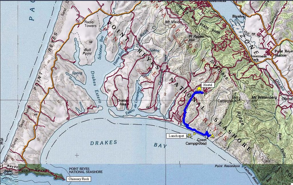 Map of today's ride. 598 track points (blue diamonds) laid by the GPS unit.
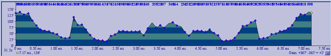 TOPO!'s elevation profile.
 'Chose not to park by the trailhead. There's better parking a 1/4 mile ahead by the Laguna trailhead. I like my vehicle level. That, and you only need to experience what it feels like to have your vehicle stuck in mud, sand or gravel on a soft shoulder once.
 Coast trailhead. Current temperature is a very pleasant 62 F (16.7 C).
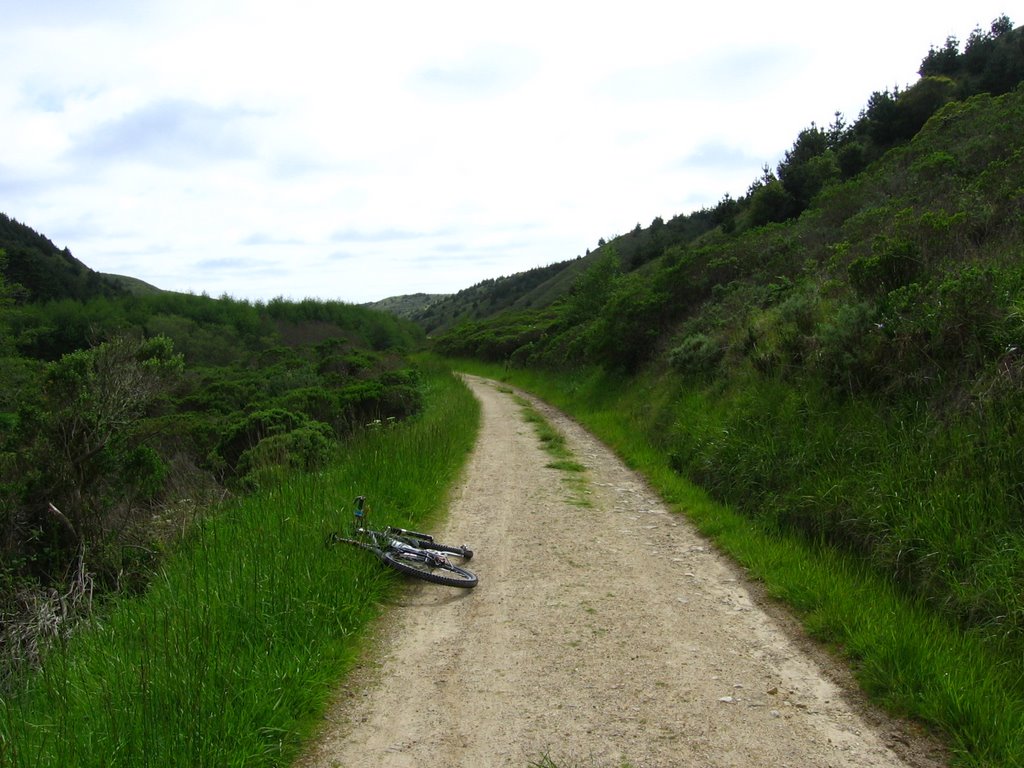 The trail is mainly hardpack, gravel and sand, flanked by greenery on either side.
 The trail goes over a bridge here. This creek drains the watershed between the two ridges. After the bridge, the creek meanders, inundates the ground, eventually turning the area into marshland.
 The area after the bridge is curious: on the left of the trail is is a steep slope, on the right is the marsh.
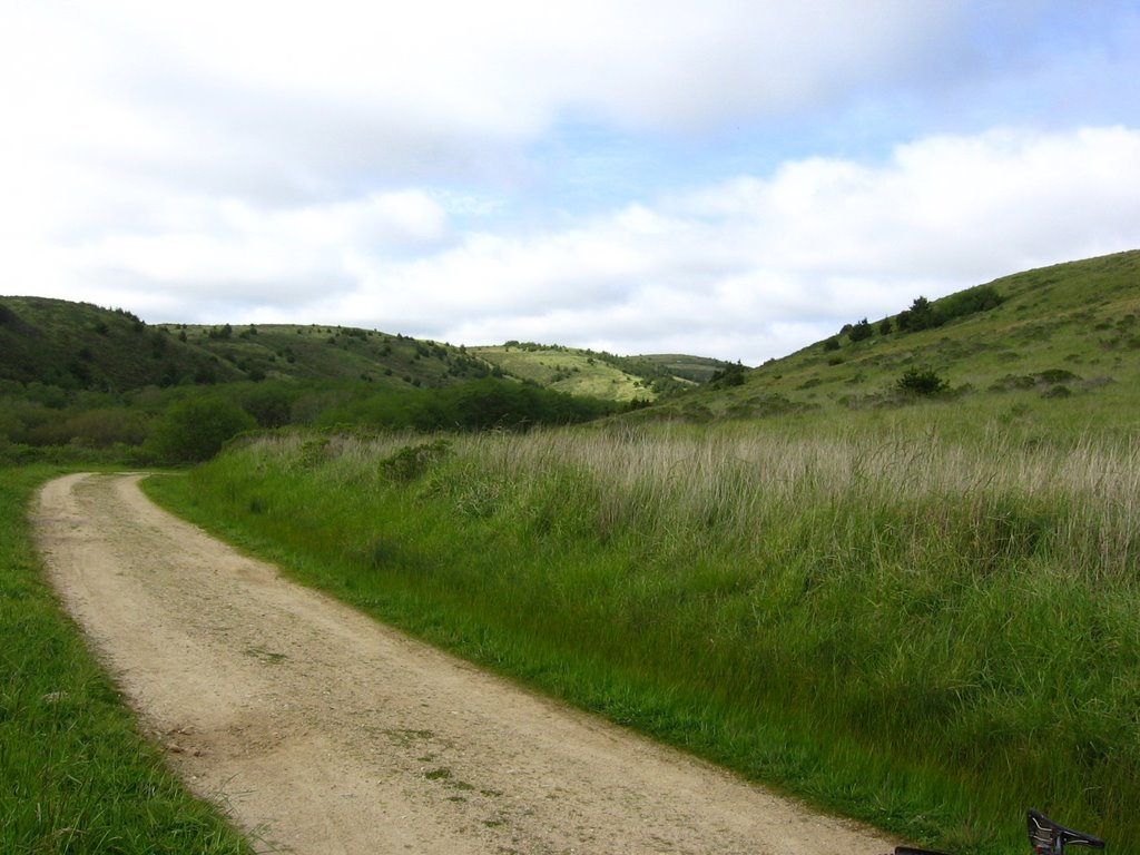 Shortly after, the trail opens up to the coast (looking back). If I have to capture it in a phrase, I would say the trail resembles a dry creek bed.
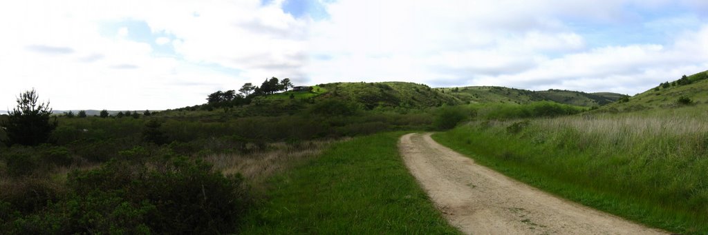 A wider view.
  Heading east, Coast Trail parallels the beach in this section.
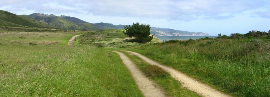 Getting closer.
 Closer still.
 Father and son on a deserted Santa Maria Beach. At one point, the Dad was performing cartwheels, much to the amusement of his kid, who ended up chasing him.
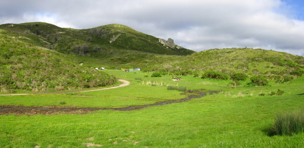 Coast Camp: a Boy Scout troop was camping here. I watched as the Scout Master demonstrated to his young charges how to set up and light a camping stove.
More about bike camping in the SF Bay Area.
 I really wanted to get to the rock outcrop but alas (see sign).
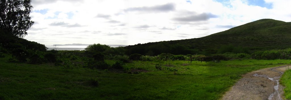 Although the picnic tables at Coast Camp are sheltered from the wind, they are also blocked from a view of the ocean. Unacceptable. And so, I postponed an already late lunch and, while riding back, searched for a better spot for lunch.
 Found one: a sand dune with a partially excavated top. It gave me the best of both worlds: gorgeous views and yet, shelter from the cold easterly winds. (Yes, I'm greedy like that).
 Lunch at 6:11 PM.
Location:
N 38 degrees 1.286 minutes
W 122 degrees 52.069 minutes
6:32 PM: *Burp!*
All packed and ready to go!
 Heading back.
Epilogue:
Total distance: cyclo-computer 7.2 miles (11.52 km) / GPS 7.36 miles (11.78 km) / TOPO! 7.17 miles (11.47 km).
Total elevation climbed: Altimeter 580 ft (176.8 m) / GPS + TOPO! 367 ft (111.9 m).
Temperature range: 53 F to 62 F (11.7 C to 16.7 C).
Fluids consumed: 0 fl. oz. of CytoMax, 8 fl. oz. of hot Apple Cider (lunch).
Ride conducted solo.

No comments:
Post a Comment