Well, last night was fun. There were 3 hardcore snorers in the men's dormitory: one sounded like a leaf blower, another sounded like those Rice-Boy Honda Accords or Civics with cheap exhaust tips welded on, and the last sounded like a death rattle. Did I get any sleep? The question is absurd. Of course not. Not a wink.
[Bonus round: Are you a Ricer? Take the test!]
Today's trail of choice is the Estero Trail. The plan: bag Sunset Beach as well as reach the top of Drake's Head. I did not know there was an epic in store for me (the best epics--in retrospect--often happen this way). The ground was so wet and muddy from the month-plus-long deluge of rain in March and April that the trail was basically unrecognizable. In fact, many sections were totally ruined. Hence, today's biking trip turned out to be a hike-n-bike endeavor :-P As a result, it was very slow going. So much so that I had to forgo lunch in order to make good time.
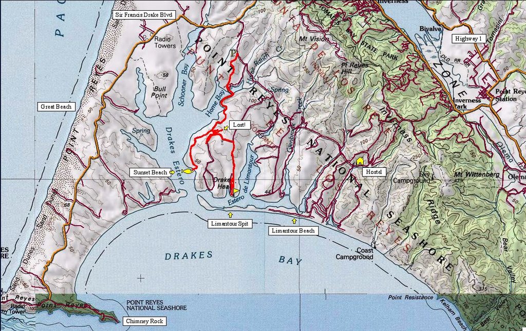 Map route is approximated from a trail map. There was a malfunction with the GPS unit and it deleted all my track logs except for 3 random ones. #?%@!!!
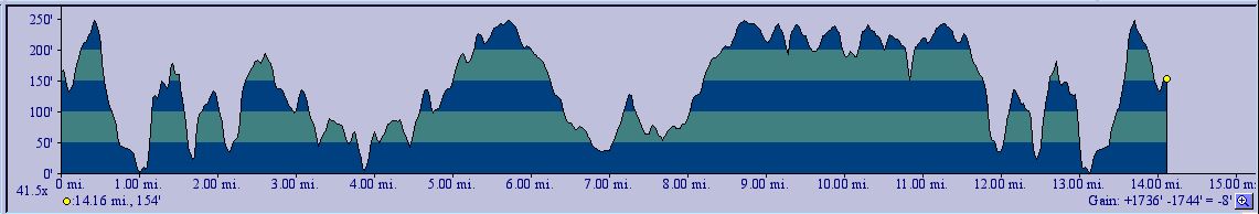 Hence, this TOPO! profile is an approximate profile of the route proper--and not the route I took (more about that later).
 Estero Trailhead. You should see this place when it is stormy and pouring: Charlotte Brontë would agree it's the quintessential Wuthering Heights setting.
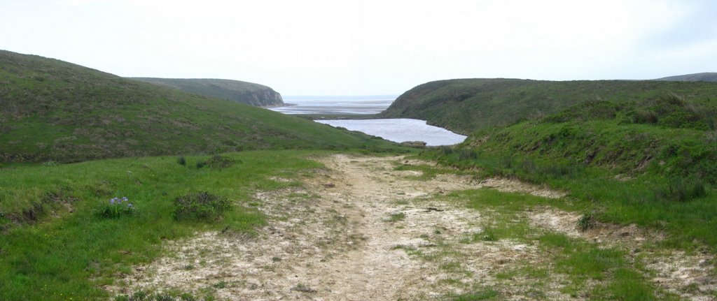
 A gentle descent starts off immediately from the trailhead.
 Information board.
 Gravel, greenery, and the whispering wind.
 Approaching Home Bay.
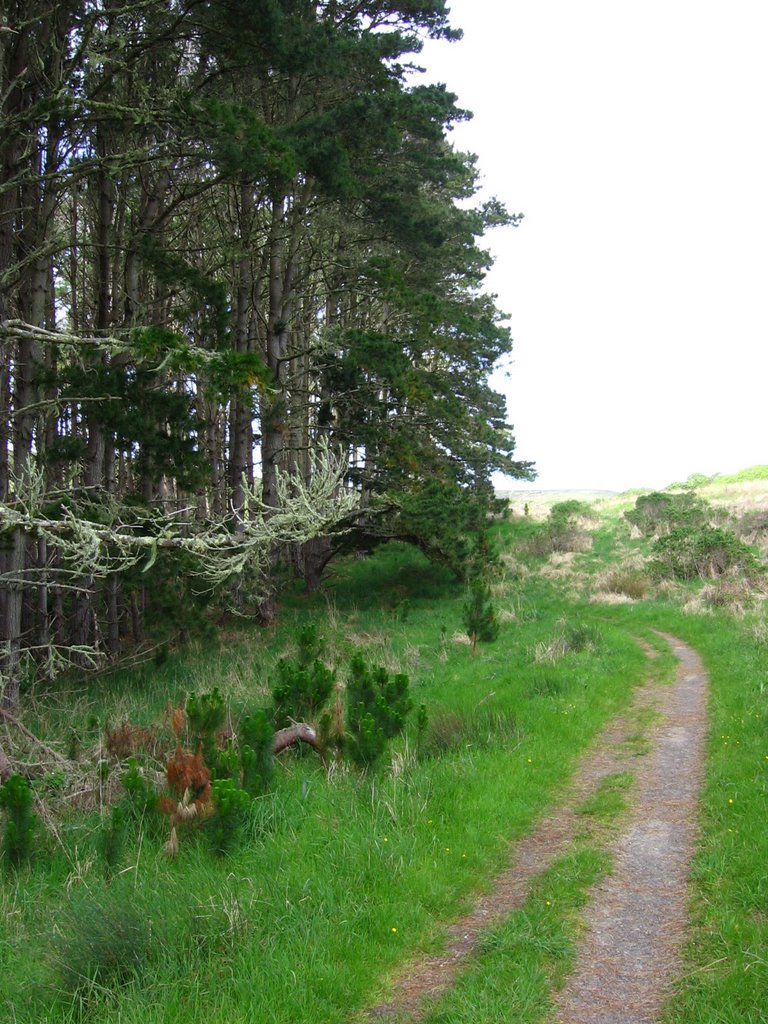 Entering a forest of Monterey Pines. This used to be a Christmas tree farm.
  The wind blowing through the trees sound like waterfalls (or freeways, for you city folk). Some find it creepy. To me, it feels like coming home.
 Deer on the trail in a clearing.
 Descending from the forest to the bridge over the mud flats of Home Bay.
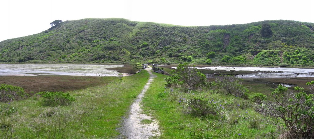 Causeway through Home Bay.
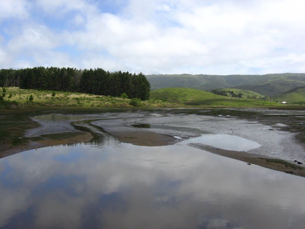 Looking back: the gentle descent down the hill, through the old Christmas Tree farm of Monterey Pines.
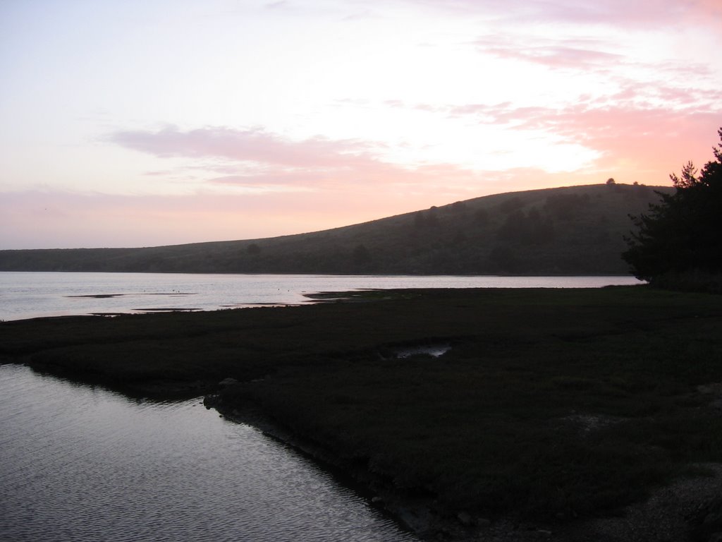
 Looking ahead as Home Bay empties into Drakes Estero.
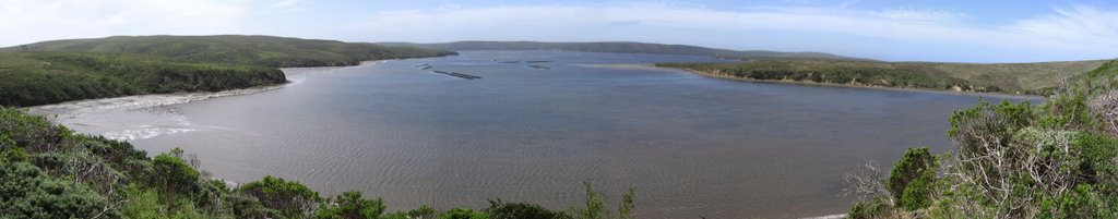
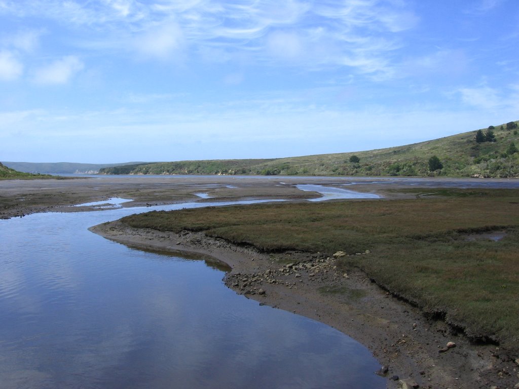
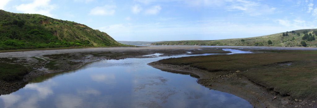 Panorama shot.
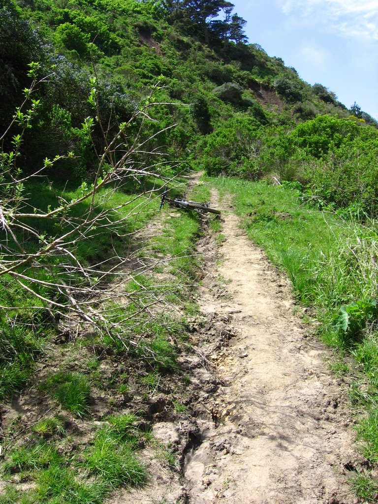 1st hill.
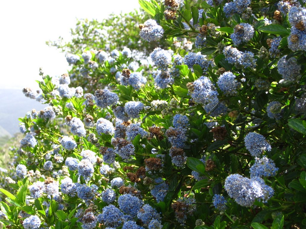 Ceanothus gloriosus J. T. Howell. Also more commonly known as the Point Reyes Ceanothus.
 Bouquets of Scotch Brooms (Cytisus scoparius) grace the hillside. Believe it or not, this gorgeous plant is considered an invasive weed.
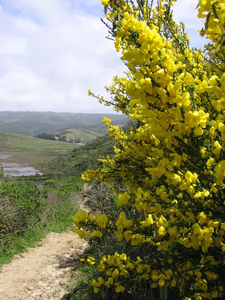 A closer look.
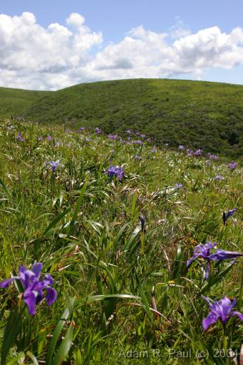 Douglas Iris (Iris douglasiana) too, add color to the hillside. Picture credit: Adam R. Paul.
 A macro shot. This was done handheld, babyeee!
 The month-and-a-half of rain in March and April basically decimated the trail. There were landslides and mud flows everywhere. The mud had a nasty tendency to form a brittle crust, and then when someone or something puts weight on it (e.g. shoe, hiking boot, bicycle tire, etc.), it breaks through.
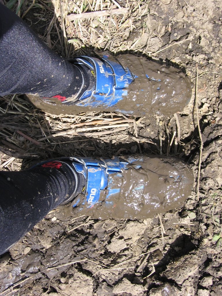 Case in point.
 Thought of how this correlated to my experience as a member of the church choir as I rode down this moderately technical section of the trail on the way back:
Mountain biking: you are near the height of your enjoyment, and yet, in order to continue enjoying it, you may not abandon control of your emotions. To let them run wild would invite disaster as your concentration lapses.
Choir: in the most soul-stirring moments, when the tears are welling in the congregation's eyes, you may not abandon control of your emotions and tear along with them. To do so would break the spell as your voice wavers.
Life then, presents a curious paradox: inexplicably, we long to be able to abandon control of our emotions (and senses), and yet, at the height of our passions, we may not let go the reins, for it leads to the cessation of the experience (or threat to life and limb).
What does it all mean then?
I don't know.
I'm just here to pedal.
And pedal on I go...
 The top of the 1st hill: a view of Home Bay and Drakes Estero. The brown structures in the water are oyster rafts.
 A cove at the bottom of the 1st and 2nd hill.
 Climbing up the 2nd hill (looking back). Part of the downhill of the 1st hill can be seen on the right.
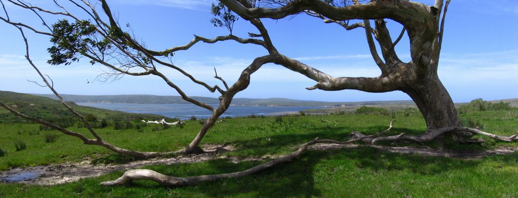 A lone Eucalyptus tree, twisted, battered, and bent by the wind, stands sentinel atop the 3rd hill.
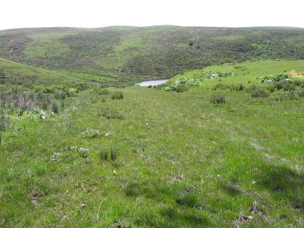 Descending the 3rd hill.
 A pond at the bottom of the 3rd hill.
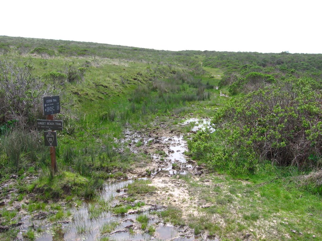 Sunset Beach Trail junction. 1.5 miles to the beach head.
Current temperature is 64 F (17.8 C).
 Sunset Beach Trail parallels the eastern shore of Drakes Estero.
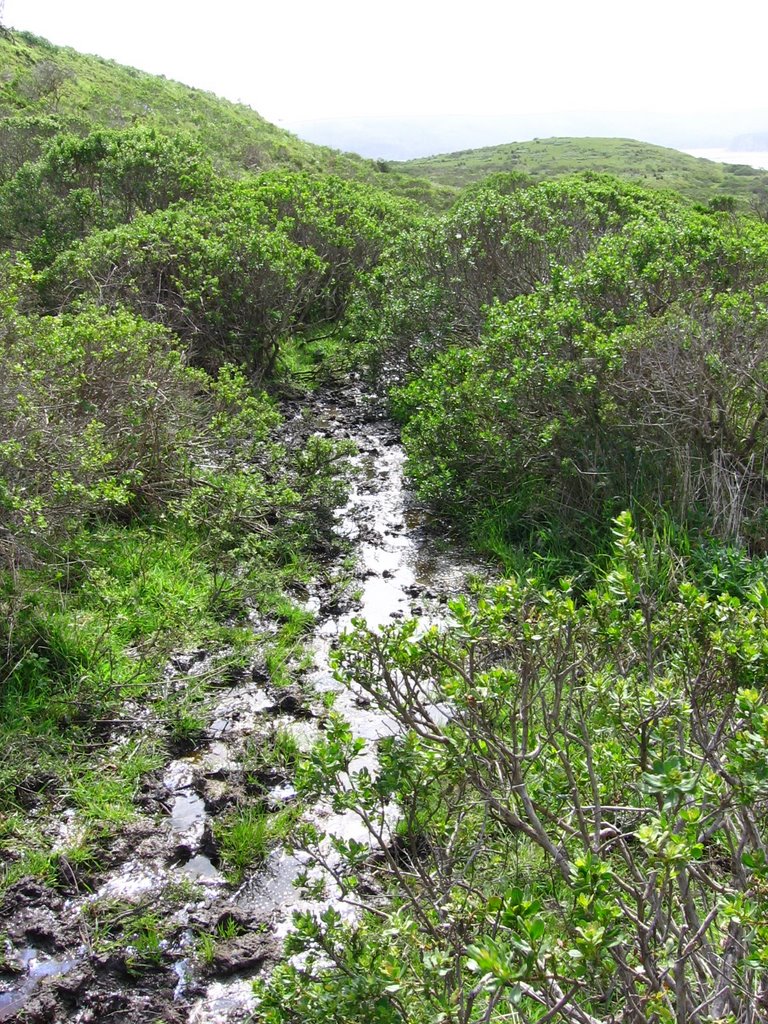 6-inch deep mud.
 To save time, I decided to ride through the sections of mud bogs. It seemed to work pretty well--just gather up enough speed, and momentum should carry you through. If not, switch to a lower gear before entering, keep your handlebar straight and pedal through, while maintaining a high cadence.
 Well, that worked for a while. Until my front wheel encountered a bog that was hub deep. I think I was caught in a front wheelie position for a while, and then, as the rear wheel returned to earth, I was brutally reminded of the fact that Shimano clipless pedals (SPD) do not work very well in mud. They become difficult to clip in and also difficult to clip out. And so, brought to a dead stop, with pedals refusing to release, the right side of my body got treated to nature's own organic mud bath. By the smell of it, I think it was probably 50% cow pies too. Nice.
 Sunset Beach within view.
Sunset Beach. A large, quiet pond separates it from you. You can hear the ocean waves ahead of you, even though the water directly in front of you is completely calm and still. (Source)
 Flanking the east side of the pond.
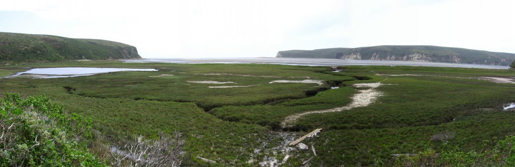 A section of marshland separates me from the beach in the center.
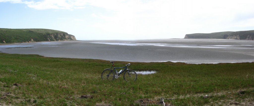 Part of Sunset Beach. The main part of it is at the base of the promontory on the left (which I haven't got time to visit today).
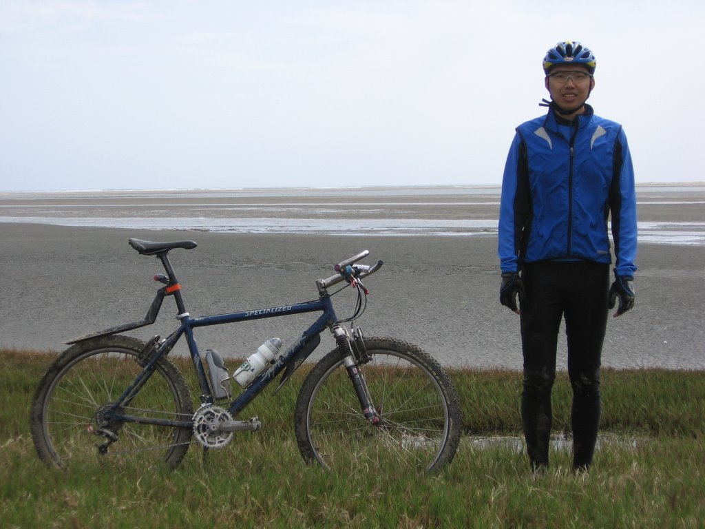
 Moi. Close up.
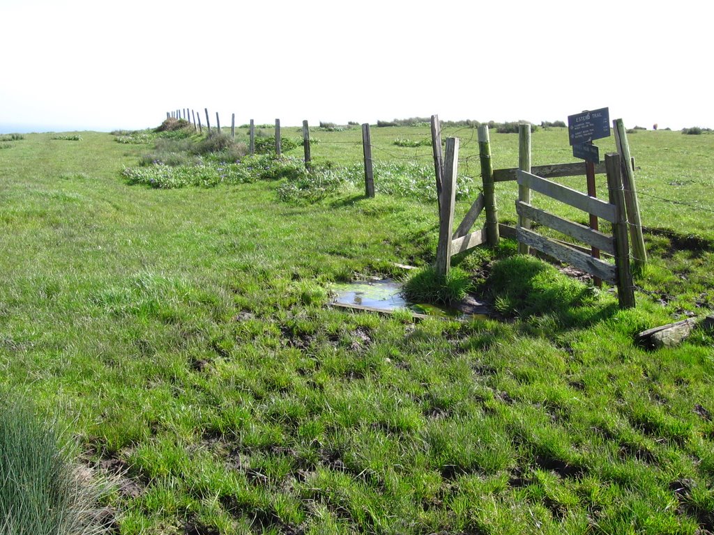 Time to double back and head towards the 2nd objective: Drake's Head.
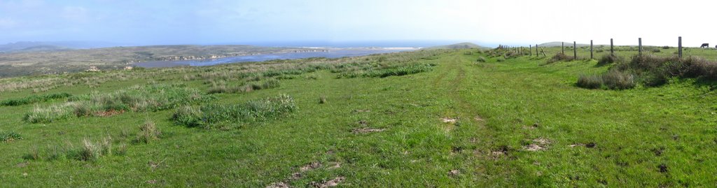 Drakes Head Trail. Limantour Spit is visible left of the center.
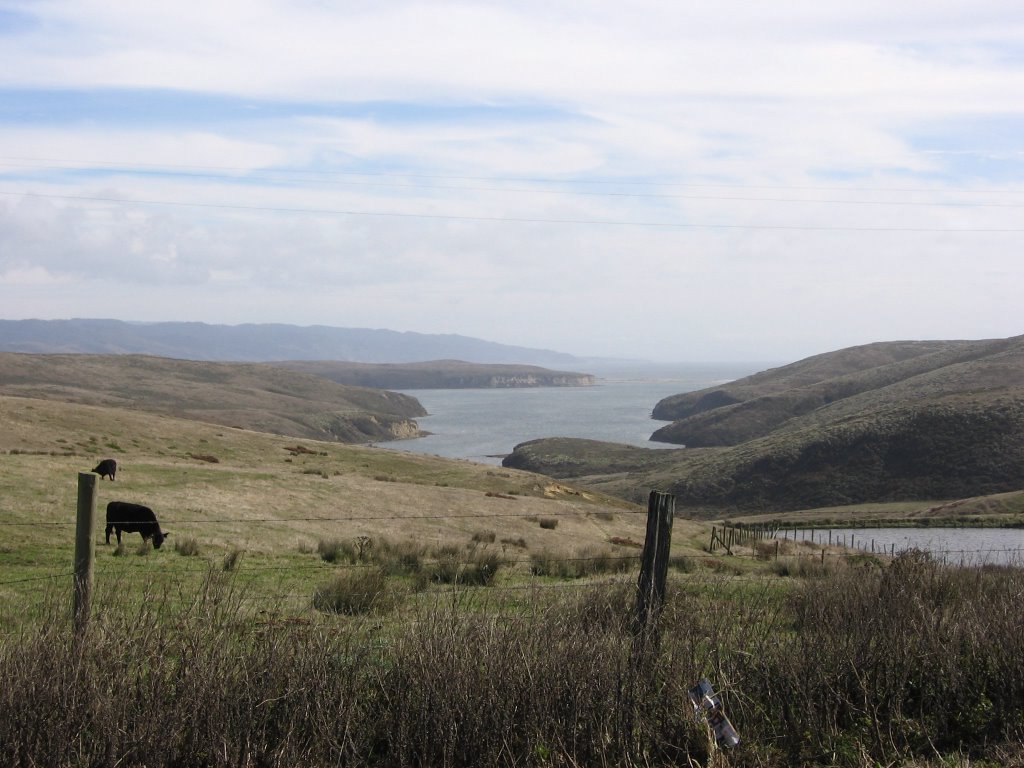
 Cattle grazing. Limantour de Estero forms the backdrop.
 "Silly human, playing in the mud," quoth the wise cow, chewing her cud.
 The trail disappeared so I had to rely on a little dead reckoning.
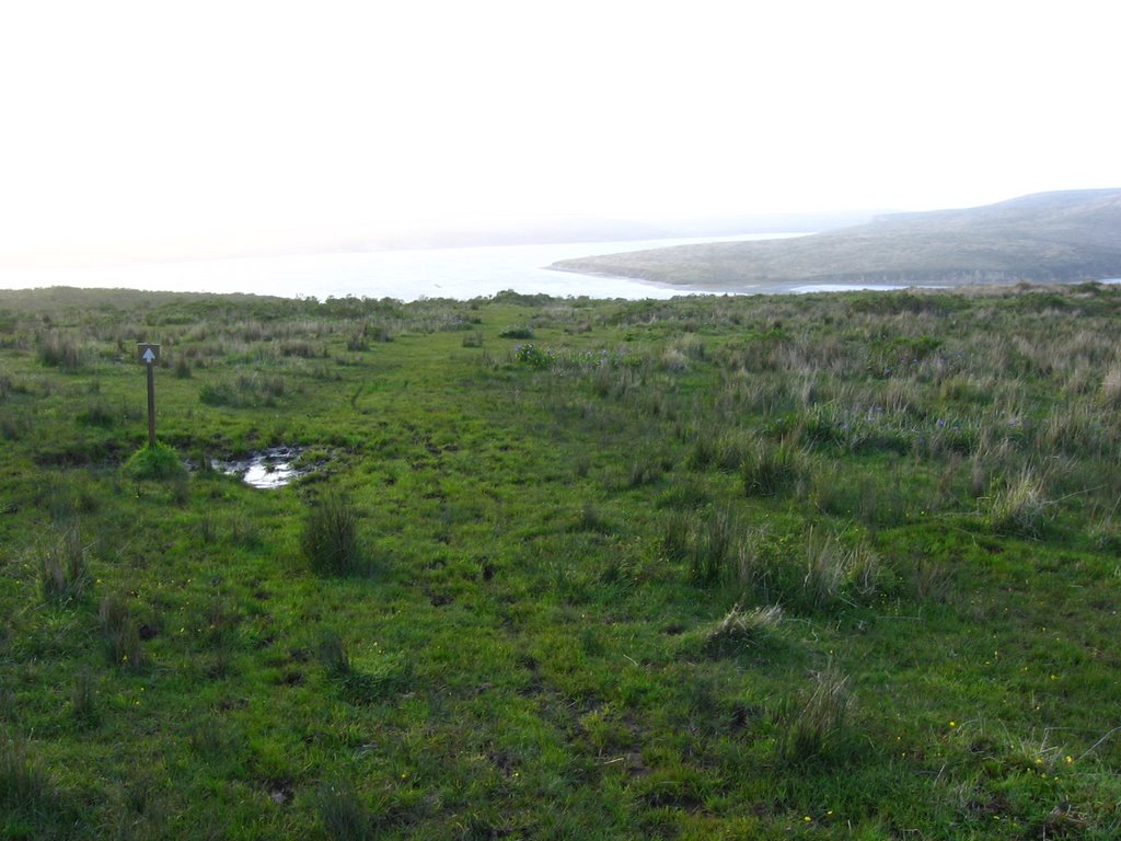
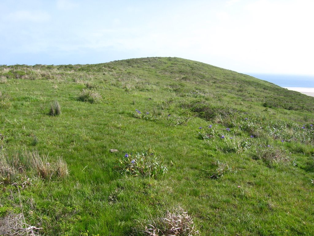 Not a difficult task as Drake's Head was often visible.
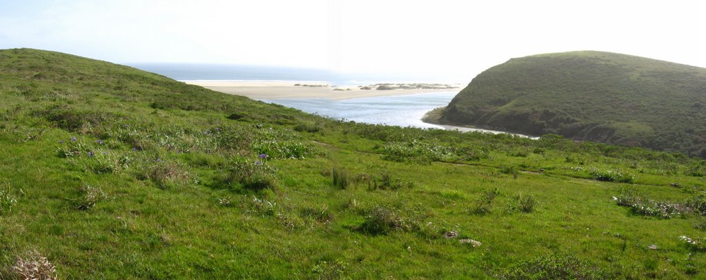 Final approach to Drake's Head: looking west: Sunset Beach.
 Looking east: Limantour de Estero.
 Top of Drake's Head.
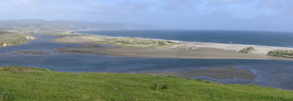 Looking east: Inverness Ridge, Limantour Beach, Limantour Spit (continues in next image).
 Looking south: Limantour Spit (continues in next image).
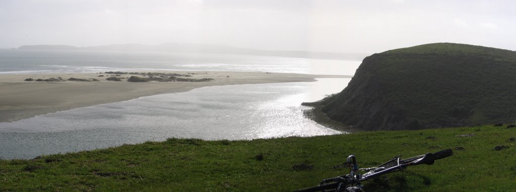 Looking west: Limantour Spit, Chimney Rock (in the distance), Sunset Beach and promontory.
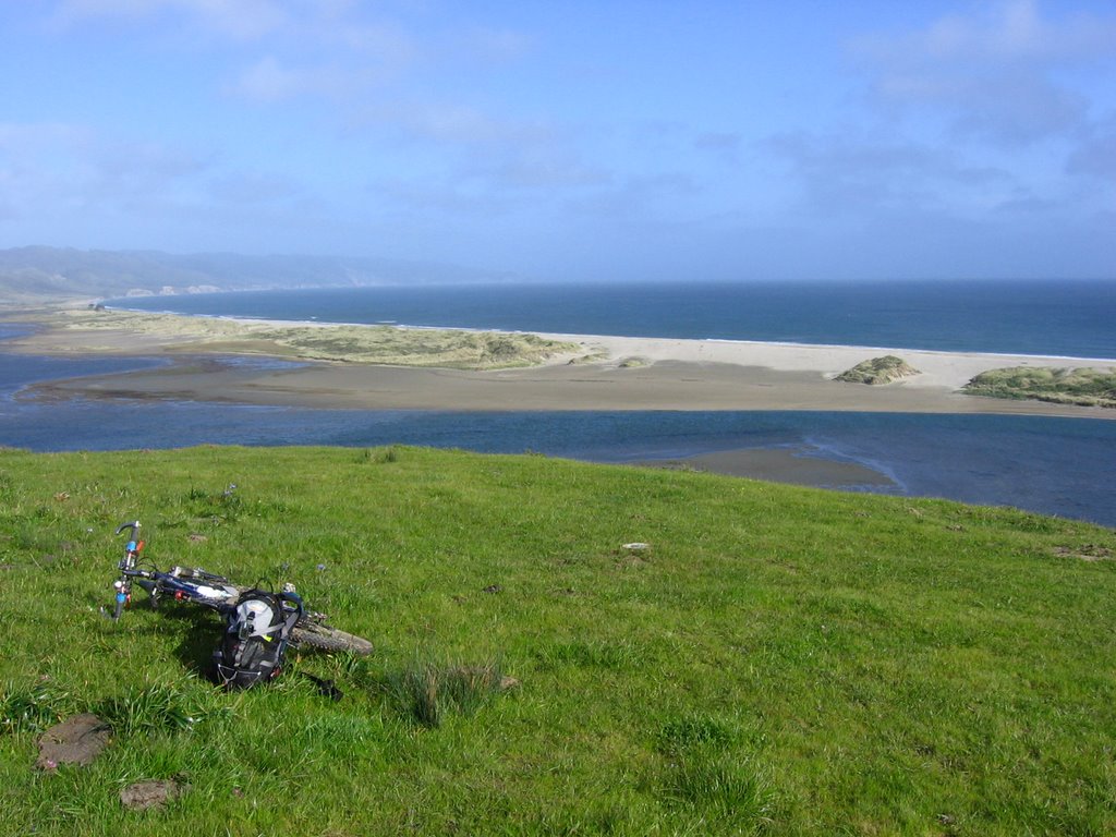 It's a 147 ft (45 m) drop to the water below. There are no signs warning of the precipice.
 Heading back.
On the return leg, I forgot the advice offered by another mountain biker (scroll to bottom of this link) of not making the intuitive mistake of following either of the cattle fences, but to pick a diagonal 45-degree line between them instead. Had I remembered this, I would have saved myself 1.5 hours of backtracking, bashing through thistle, poison oak, descending and re-ascending a total of 1000+ feet, and wading through cold, deep, and stinky mud bogs.
As the time approached 6:40 PM, I began to get a little concerned. There was about an hour of daylight left, and I couldn't find that elusive connecting trail. Rather than bash around in the dark, lost, and possibly walk off a cliff, I began to look for a place to spend the night. I had enough food and liquids to last the night, as well as an emergency thermal blanket. I discovered an unused cattle corral that would serve as a windblock. If I had a two-way radio, I suppose I could call for rescue. But the embarassment! (Cell phone? They don't work here, babe. There aren't any cell phone towers here).
I like this message from the Yosemite Search and Rescue Team:
So, expect trouble, but don't expect a rescue. Be responsible for yourself by going prepared. In addition to learning to recognize the pitfalls above, a little gear and planning is in order.
Knowing that I was prepared to bivouac the night, and would very likely survive it (with a little discomfort) gave me great peace of mind. Knowing that I was alone and that I only needed to handle my own emotions also gave me great comfort. The last thing I needed was a whiny crybaby on my hands. Emotions are irrelevant in such situations. Only logic matters. That sense of serenity gave me a new perspective on my problem. Since I had about an hour to kill before sunset, I began to look around calmly. I don't know whether it is luck, desperation, the angle of the setting sun hitting the elusive (and overgrown) trail just right, or simply the removal of tunnel vision, allowing a new perspective, but I seem to detect a faint line in the grass. Deciding that I had nothing to lose if I were to follow it for 5 minute (after all, I have an hour), I went to reconnoitre it.
 A 1/4 mile (400 m) later, I spotted the tiny iron sign that marks the trail. Voila! I was back in business! I didn't have to spend the night sleeping in an oversized aluminum foil bag with cows in foggy 49 F (9.4 C) temperatures after all! (No, I'm not talking about San Francisco chicks, but, hey, if the shoe fits...)
 The GPS "bread crumb" function is useful for navigating your way home under normal circumstances, but in the Drakes Estero area, the presence of giant bays in many directions renders it all about useless.
 Yes, yes, another shot of my muddy shoes. Why am I so upset? Those are US$250 top-of-the-line Shimano Carbon Fiber Sole cycling shoes. I'll never get the smell out! *sob*
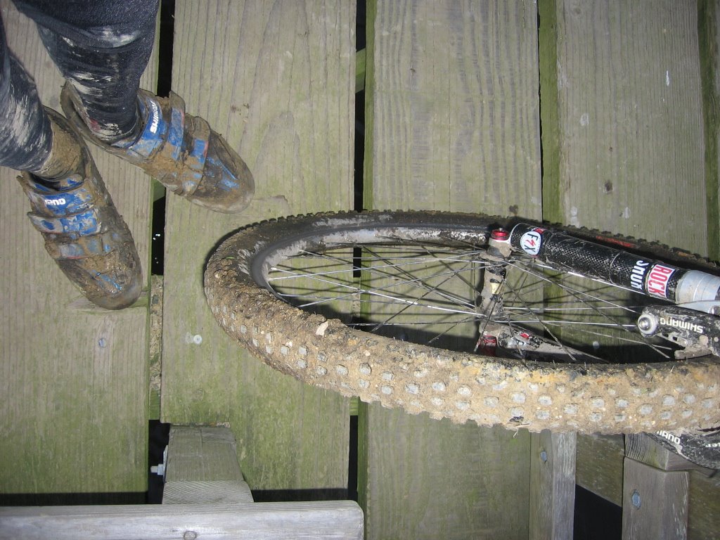 Half of that is probably cow manure.
 After I descended the last hill, I sat on the bridge as dusk descended and toyed around with my camera. Which picture do you like best?
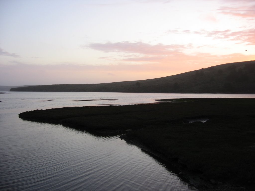

Got back to the car just as the last light faded. i.e. about 20 mins after sunset. I felt lucky. I felt thankful. I felt humbled. I felt blesséd. This is by far the shortest epic ride I've ever encountered.
Epilogue:
Total distance: cyclo-computer 15 miles (24 km) / GPS 15.10 miles (24.16 km) / TOPO! 14.16 miles (22.66 km).
Total elevation climbed: Altimeter 3060 ft (932.9 m) [actual] / GPS unit malfunctioned / TOPO! 1736 ft (529.3 m) [theoretical].
Temperature range: 54 F to 69 F (12.2 C to 20.6 C).
Fluids consumed: 34 fl. oz. of CytoMax.
Ride conducted solo.
I met no one on this ride. Other than the Bolinas Ridge Trail and Mines Road rides, rarely have I experienced such a feeling of solitude. In the words of another reviewer:
While there are plenty of old markers of cattle farming such as fences and corrals, they seem to be lost in time. Vistas across coastal grasslands look straight out of a California History textbook.
Update
Mount Vision Ride, planned for the following day, was cancelled. Details here.
