Was a trifle bored on Monday, so I decided to do some road cycling.
Go to a mall? I don't do malls. In the words of my housemate, The mall??? WTF are you? Thirteen?
And so, to Mount Hamilton I go. From Wikipedia: one of the tallest mountains overlooking the Silicon Valley at 4,213 feet above sea level (and above San Jose); only the nearby peaks of Kepler, 4230-foot Isabel, and 4360-foot Copernicus, are higher, but there is no road access to these peaks. Lick Observatory sits atop the mountain, for which its 19-mile access road was constructed.
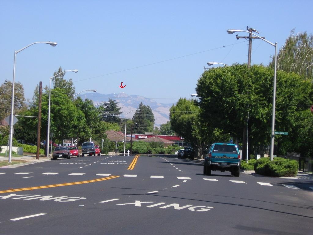 A view of Mount Hamilton (4213 ft / 1284 m) in the distance (red arrow) from outside my apartment.
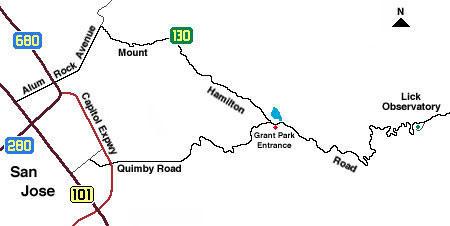 A map of the route (courtesy of UCO).
 A higher resolution map of the route (highlighted in red).
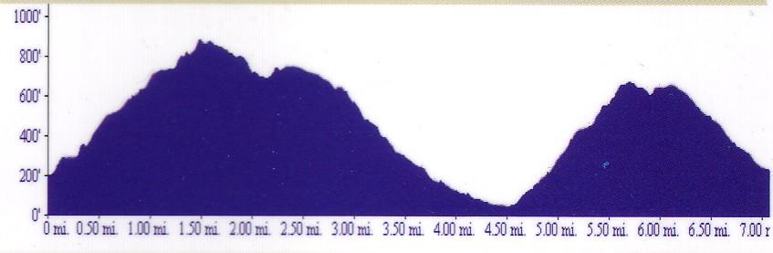
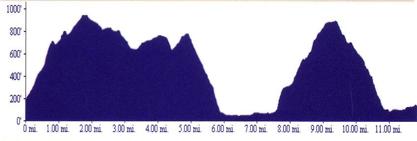
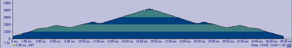 Elevation profile of the route. The two valleys encountered along the way are also represented: the first involves a descent of 329 ft over 1.91 miles (3 km), and the second goes down 226' ft over 1.05 miles (1.7 km).
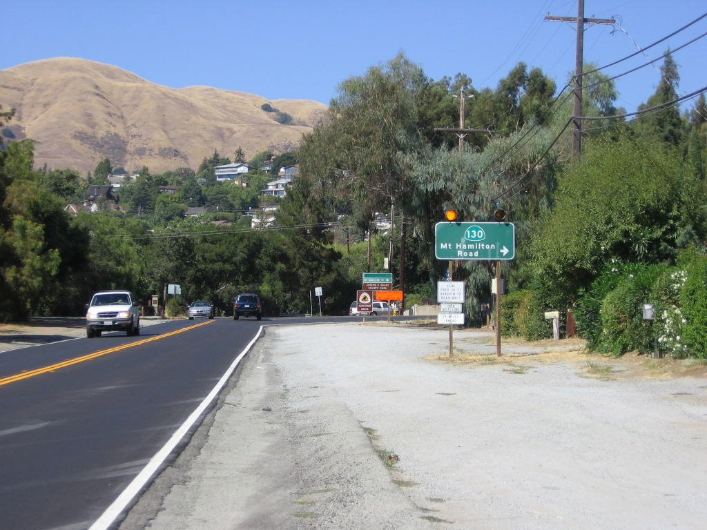 Making a right from Alum Rock Avenue on to Highway 130 aka Mount Hamilton Road. It's 19 miles (30.4 km) and 4213 ft (1284 m) of climbing to the summit from here.
  Someone's brand of humor: the sign says, "KEEP GOING!" Distance accrued at this point is 2 miles.
  A view of Alum Rock and the city of San Jose as I make my way up the foothills of the Mount Diablo range.
 Another funny sign at mile 3: "ALMOST THERE! A LITTLE MORE!" Strangely enough, there are no more signs after this. Maybe the joker ran out of energy or something.
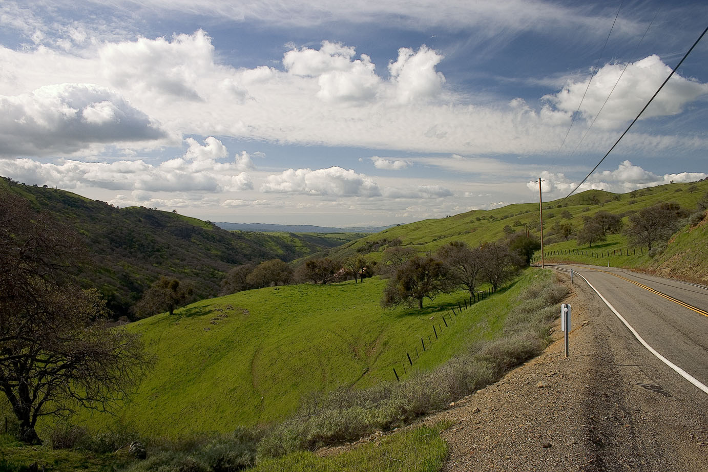
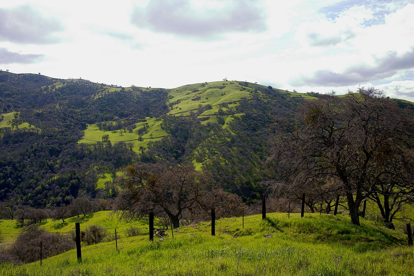
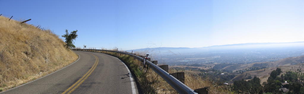 The road begins to hug the side of the slopes from here. Here's a paranoma of the valley. After this, the grade steepens somewhat and enters the forested and shaded region (a relief in the 90F heat).
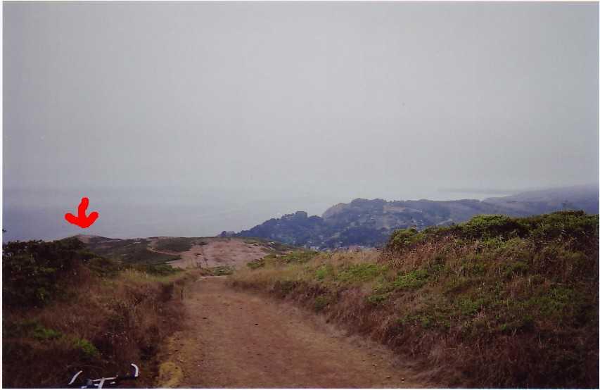
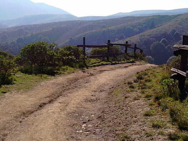
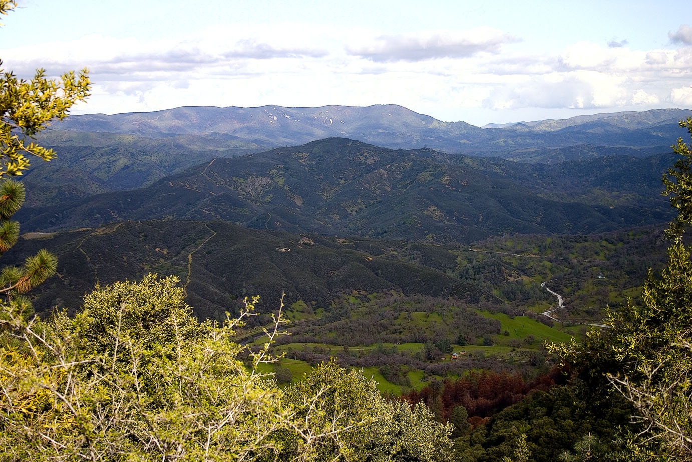
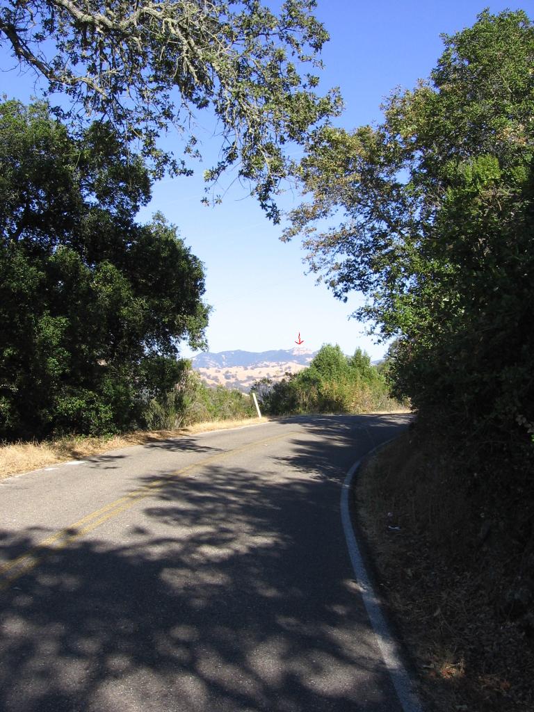 1 hour of climbing later, before the first descent into Halls Valley. Mount Hamilton (tiny red arrow) looks relatively close, but is actually quite a distance at 14 miles away and 3350+ feet of climbing (taking into account the elevation lost by the 2 descents into the 2 valleys).
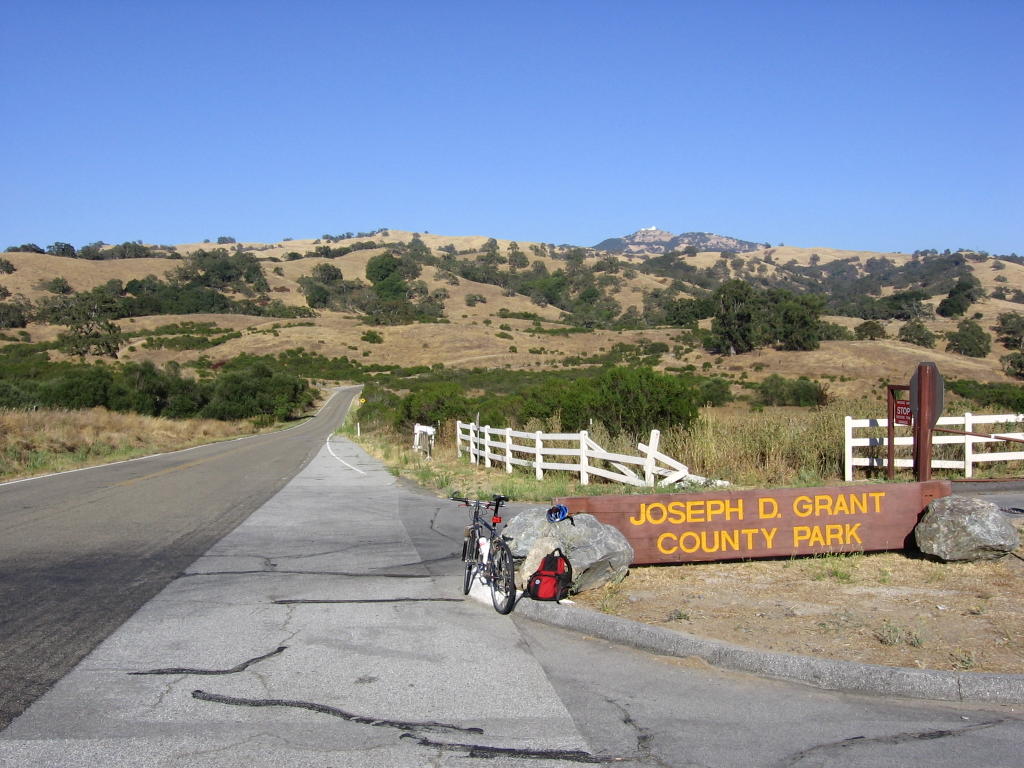 Mile 8. Joseph D. Grant County Park sits at the bottom of the 1st descent, Halls Valley, formed by the still active Calaveras Fault. There is a water fountain for refilling water bottles / Camelbaks here. It is actually possible to drive here, park, and cycle up Mount Hamilton (although you won't really have cycled up the mountain then). Plenty of mountain biking trails here as well.
Lick Observatory at the summit of Mount Hamilton looks deceptively close (click on picture for a better view), but there is actually 11 miles more to go and 2800 feet to climb, and one more descent into another valley before the final climb begins.
 After traveling 9 miles from Alum Rock Avenue.
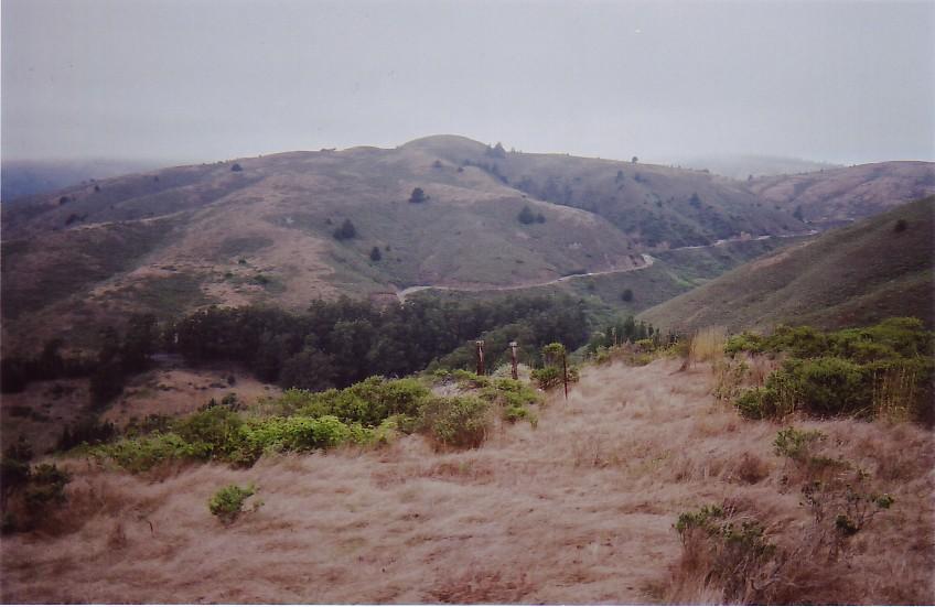
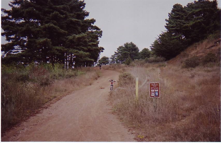
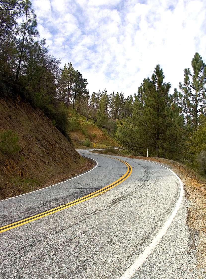
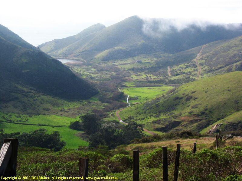
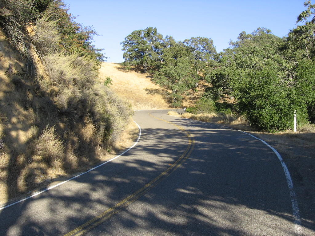 View uphill. Ordinarily, this will be cause for joy on the return trip, but not on this particular day. Why? Read on.
 Turning 180 degrees, the view downhill.
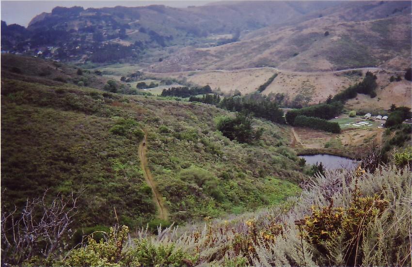
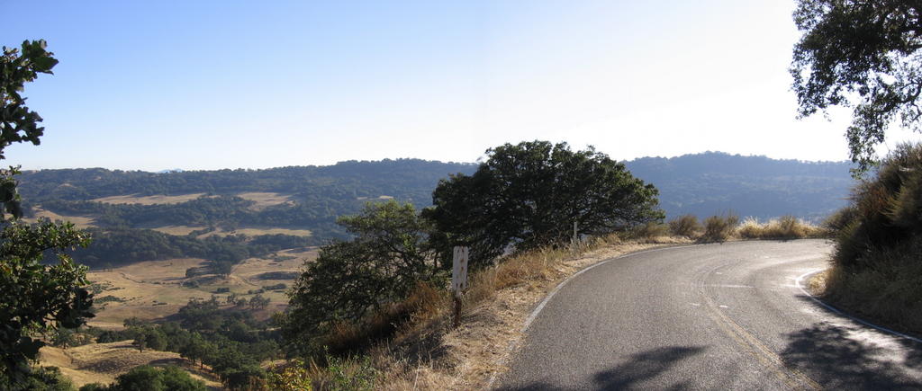 If you ever want to re-enact the finale of Thelma & Louise, you know where to go. Make sure you hook up your stereo to an iPod though. Having your swan song skip as you, your car, and your buddy/lover tumble to the valley floor, thousands of feet below, will be anti-climatic.
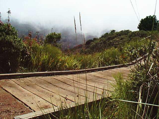
 At the bottom of the 2nd descent. As a stream runs through this valley, a fire station is strategically located here. The road to the summit switchbacks through multiple hairpin turns.
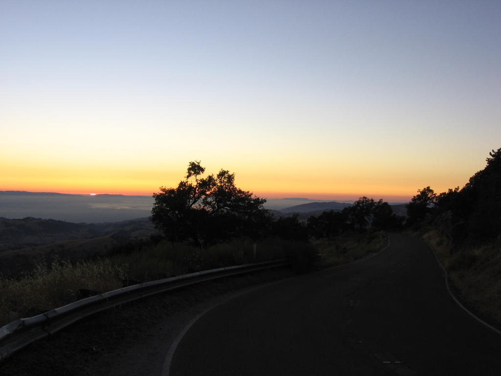 2 miles from the summit. Feeling pretty tired now. Ran out of water 45 minutes ago. The sun has almost set, and I haven't reached the summit yet.
 The signs announce the end of Highway 130, that the city of Livermore is 50 miles away, and there is no gas until then. A right turn and 200 yards brings one up to the Lick Observatory.
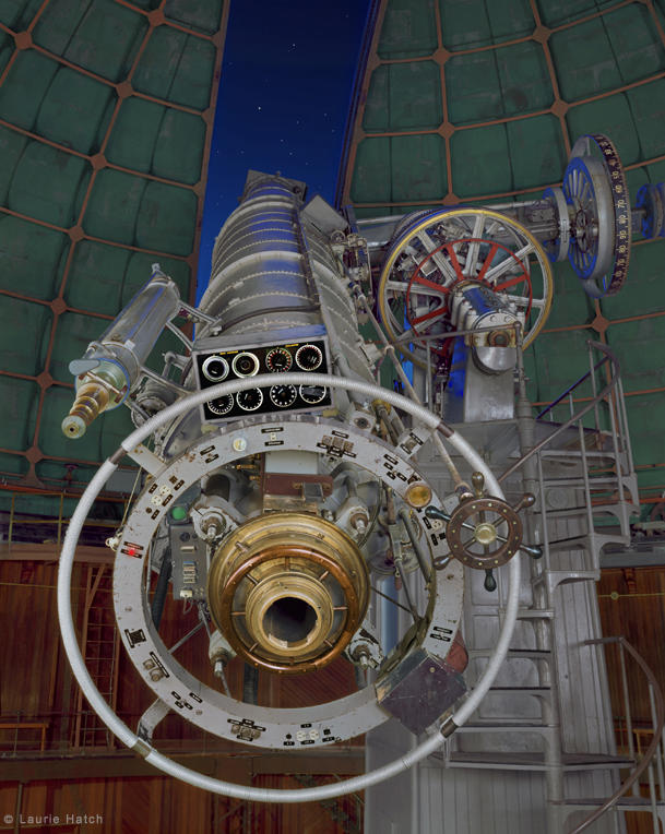
 Me, my bike and myself on the summit of Mount Hamilton. Lick Observatory's official link. A picture of one of the five telescopes: the 36 inch. It has quite an interesting history. For instance, do you know Mount Hamilton Road was constructed with a grade under 7% so that horse-drawn carriages could pull up the huge 36-inch telescope lenses in 1888?
 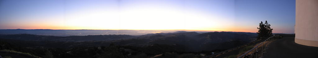 Took this picture for Scooby: panorama of sunset over Silicon Valley.
 After scouring around for a water source, I finally located an outdoor tap. Since there was no sign warning, "Not for drinking" or "Non-potable water," I filled up my 2 water bottles for the return journey. A left at this junction takes one back to San Jose. (Yes, it's dark). Climbing Mount Hamilton via Livermore is more difficult, with longer distance of 50 miles (80 km) and a steeper grade. The remoteness and scenery is worth it though. Check out these pictures by another cyclist: 1, 2, 3, 4, 5.
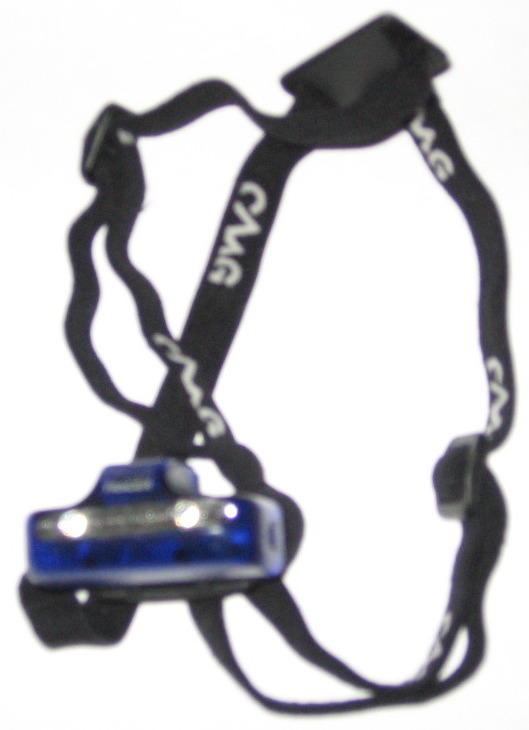 As I grossly underestimated the amount of time it took to ascend Mount Hamilton, I didn't bring along any proper lights (and it's dark now). All I had was this US$20 Gerber Tracer Headlight with two tiny LEDs (none of those gorgeous Luxeon 1W babies), and a 2-AA Maglite. As the Maglite was pretty much useless without some form of mount (I only have 2 hands, and they are both needed for braking on the long, twisty descent), all I could really use was this headlight. Oh joy.
Anyways, I discovered that my new helmet fits over the headstrap of the headlight; and that the slim form factor of the Gerber Tracer headlight (official product site) fits under the slightly-higher-lid of the bicycle helmet. Ah, desperation and improvisation.
 The start of Highway 130: the descent from 4213 feet (1284 m) begins; 19 miles (30.4 km) to go. If my tiny LED headlight had only 1/10 the power of that camera flash. Gerber claims that their Tracer headlamp had an effective range of 30 feet. That was not what I experience. Maybe the battery was low or something. I could see 20 feet ahead (of roadmarkings) at most. And I was doing 25-30 mph most of the time. Just treat it as a high-stakes video game where you only have one life.
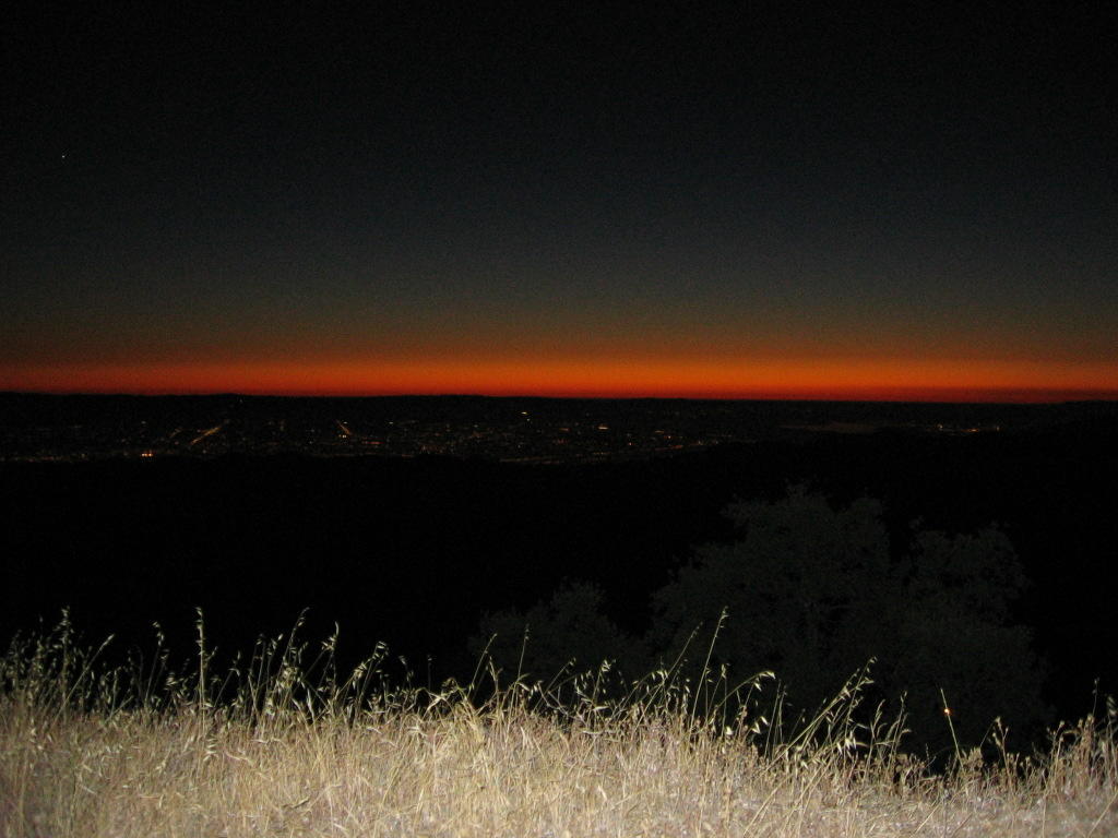 One more picture of Silicon Valley at dusk at this elevation.
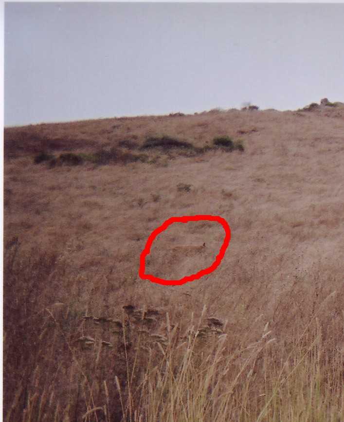
The return journey was, in two words, "worrisome" and "tiring." As the entire park and general area of Mount Hamilton, CA 95140 (until I reached civilization) was isolated (population 35) and a habitat for mountain lions, I couldn't stop and had to maintain speed, even though I was exhausted. Getting eaten by a hungry cat wouldn't be a fitting end to my bike ride. The two 329 ft and 226 ft uphills (remember the two descents earlier?) were the worst. My thighs were burning from the lactic acid, but I decided against getting off my bicycle to walk noisily--and slowly--in my cleated bicycle shoes up a pitch-dark road, alone, at night. Once I completed the 2 ascents, all I needed to do was to avoid crashing (the weak LED light only revealed road markings--20 feet ahead), or going off the road. Empty space and asphalt tend to look alike in the dark. Geronimo.
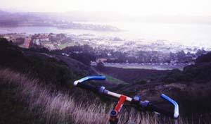
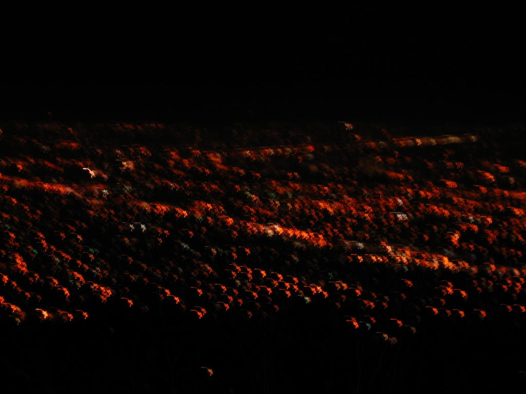 Covered 15 miles so far on the return leg, the worst is over. I'm 4 miles from my car. An unsuccessful close-up picture of Silicon Valley at night. Elevation here is about 1000 ft.
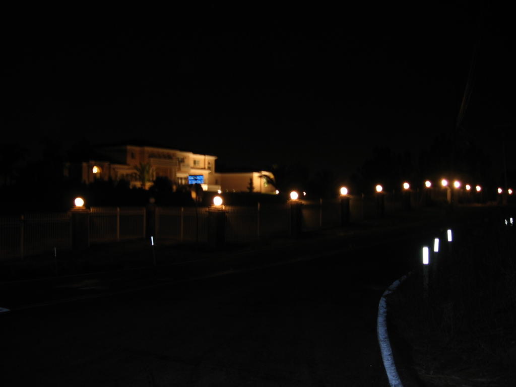 Located beside Mount Hamilton Road, this house is for sale. Anyone have change for a twenty?
It was 10 PM when I reached my car. Oh, yes, I did this ride solo, but you already knew that, didn't you?
*Chalking this one up as another epic to remember.*
Postscript:
The average grade of Mount Hamilton Road is 5.8%. Next time I attempt to assault Mount Hamilton, I will try it via the fearsome Quimby Road. It climbs from San Jose's Capitol Expressway at a relentless 9.5% grade before kicking your ass at 11.5% for a quarter mile, and then backing off to 8.3%, before dumping you on Mount Hamilton Road with 2800 feet worth of climbing left to go. A short description.


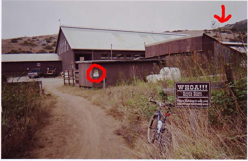


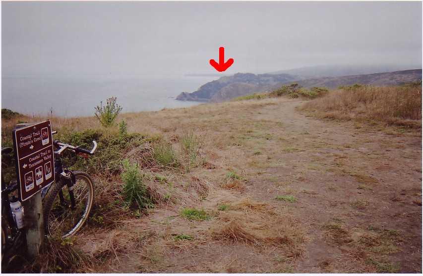
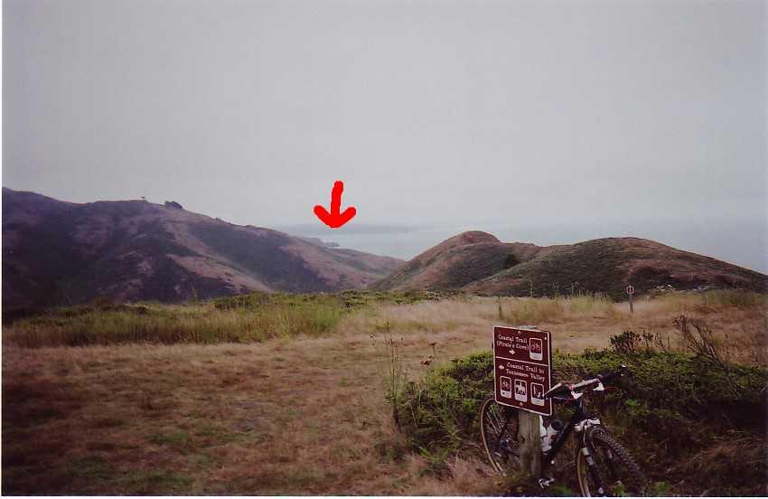
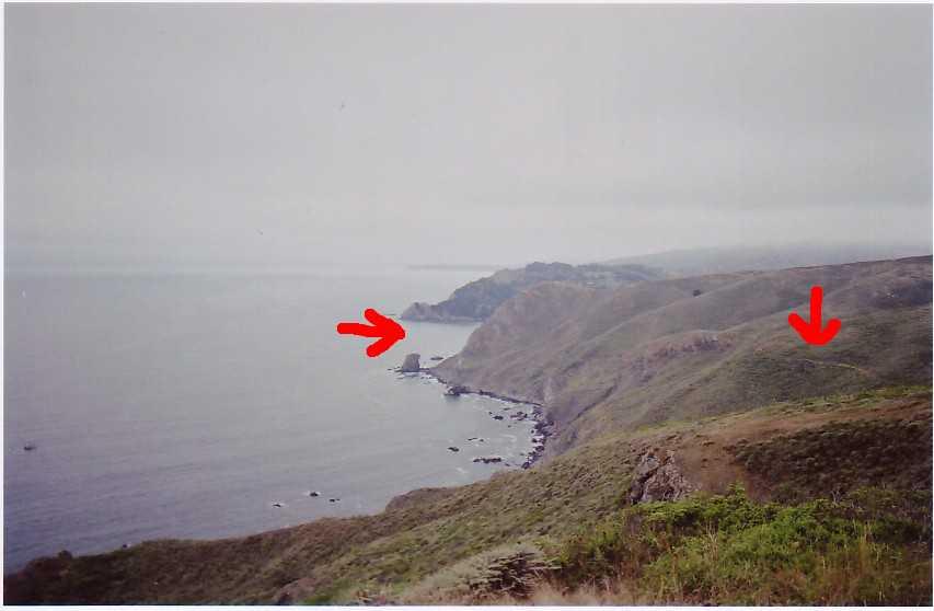


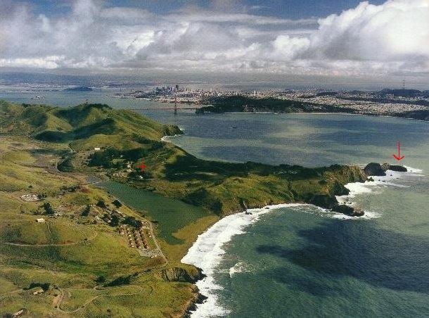 An old picture by Robert Campbell provides some sense of reference: the red arrow on the right points to the location of Point Bonita. Immediately below the red plus sign marks where the